 Frithjof Hennemann
How TrueOcean Ensures Security for Offshore Data Management
The Situation: Managing Underwater Sensor Data Offshore wind developers and survey companies operate in a highly competitive and data-sensitive...
In a recent article “One Ocean Data Platform for the Whole Lifecycle of a Wind Farm”, we at north.io detailed the comprehensive capabilities and future developments within our cloud-based geospatial data platform. This platform is designed to support the entire lifecycle of wind farms, providing cutting-edge tools for data management and analysis. Building upon this topic, in this article we now explore why effective geodata management is crucial, especially for the offshore wind industry highlighting the importance and benefits of robust data management practices.
Effective geodata management streamlines operations by providing easy access to accurate and up-to-date data. This ensures that all stakeholders have the necessary information at their fingertips, reducing the time spent on data retrieval and increasing overall productivity.
The ability to manage geodata remotely has become increasingly important. north.io’s cloud-based ocean data platform supports remote work by allowing teams to access and collaborate on data at any time from anywhere in the world, overcoming the limitations of physical data transfers. This flexibility is vital for the offshore wind industry, where teams are often dispersed across various locations.

Inefficient data management can lead to data waste, where valuable information is lost or underutilised. By adopting one structured cloud data management system, offshore wind projects can ensure that all collected data is stored, organised, and easily retrievable, maximising its potential use.
A robust geodata management system simplifies the processes involved in collecting, storing, and analysing data. This streamlined approach reduces errors, saves time, and ensures that data is consistently accurate and reliable.
Effective geodata management goes beyond traditional GIS systems by incorporating big geodata analytics. This allows the processing of large volumes of data, providing deeper insights and more comprehensive analysis. north.io also provides an automated geospatial indexing system. This innovative system makes it easy to search and locate specific data and sensor coverage areas for regions of interest using various search parameters.

Organising ocean data efficiently is essential for the offshore wind industry. Proper data management ensures that data is categorised and stored in a way that makes it easily accessible and usable for various applications, from environmental monitoring to operational planning.
The ability to analyse and visualise marine sensor data is a key advantage of effective geodata management. By transforming raw data into actionable insights, stakeholders can make informed decisions that enhance project outcomes and operational efficiency. north.io’s data platform is breaking new ground, allowing data analysis to be performed directly at the sensor data on point clouds, based on its proprietary sensor data importer and a big data pipeline built on top of it.

Digitalisation and automation are transforming the offshore wind industry. Effective geodata management systems support these advancements by providing the necessary infrastructure for automated data collection, processing, and analysis, leading to more efficient and scalable operations.
Advanced digital mapping capabilities are integral to geodata management. They provide detailed visual representations of geospatial data, which are essential for planning, monitoring, and managing offshore wind projects. These maps offer precise and actionable insights that drive better decision-making.

The offshore wind industry faces a skill gap in geosciences. Effective geodata management platforms like north.io’s ocean data platform bridge this gap by providing user-friendly tools and automating routine tasks, which frees up time for tasks that require manual attention. This not only boosts productivity but also enhances job satisfaction and enhances the skills of professionals, ensuring that they can effectively manage and utilise geospatial data.
In conclusion, the offshore wind industry must prioritise geodata management to enhance operational efficiency, support remote work, eliminate data waste, and advance big data capabilities. By streamlining data management processes, organising ocean data, and leveraging advanced mapping capabilities, stakeholders can make informed decisions that drive project success. Furthermore, embracing digitalisation and automation, along with bridging the geoscience skill gap, are essential steps towards a more efficient and sustainable future for offshore wind energy. All these measures are crucial to scale according to the expected growth of offshore wind projects in the coming years, ensuring the industry can meet future demands and expand sustainably.
Sources:

The Situation: Managing Underwater Sensor Data Offshore wind developers and survey companies operate in a highly competitive and data-sensitive...
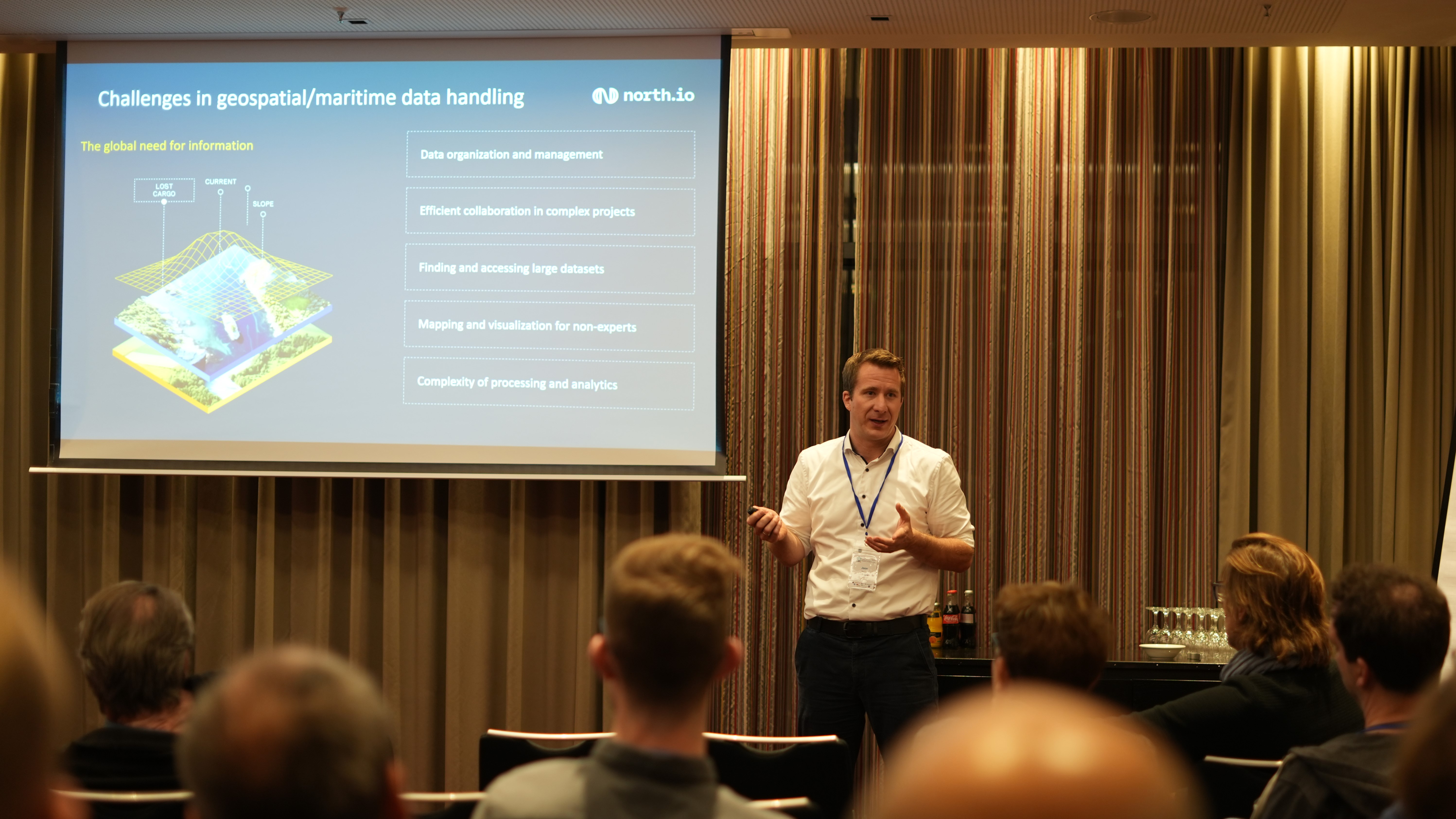
Hamburg, Germany. Jann Wendt, CEO of cloud geospatial data specialist north.io spoke this week at the International Conference on Advances in...
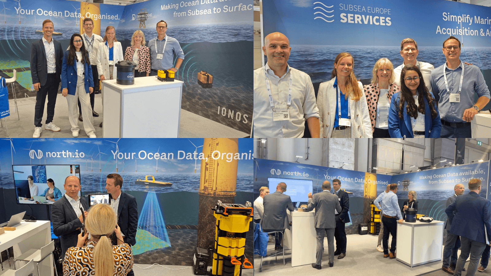
WindEnergy 2024 in Hamburg has come to a close, and what an incredible few days it’s been for north.io! We took this fantastic opportunity to...
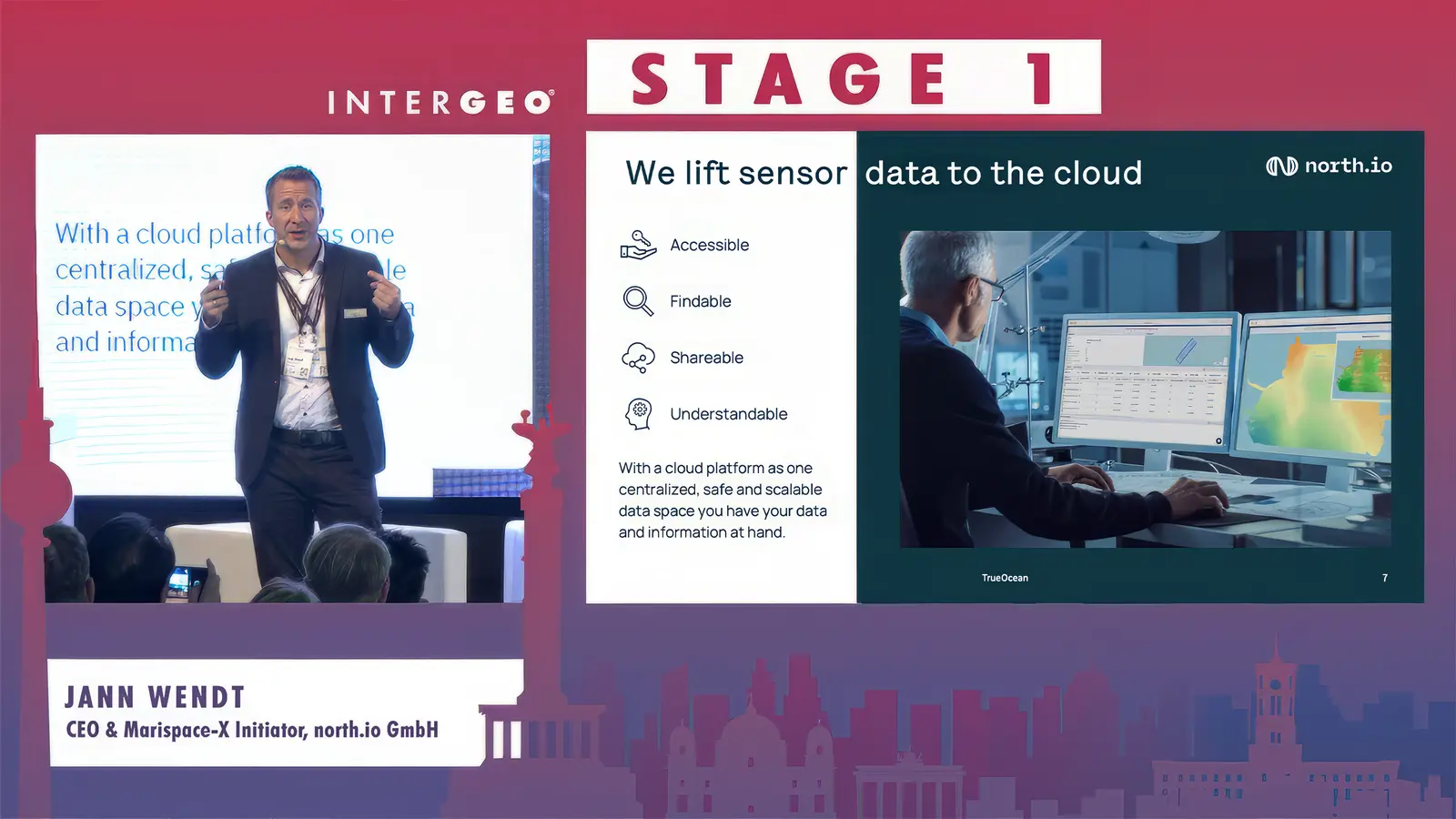
Watch the Video In a world where vast amounts of data drive decision-making processes, managing, and organising complex datasets is crucial, even...