How a Marine Data Platform Eliminates Waste in Offshore Data Workflows
1. Eliminating Waiting Times Waiting is a significant source of waste in data workflows. Traditionally, data delivery using physical hard drives has...
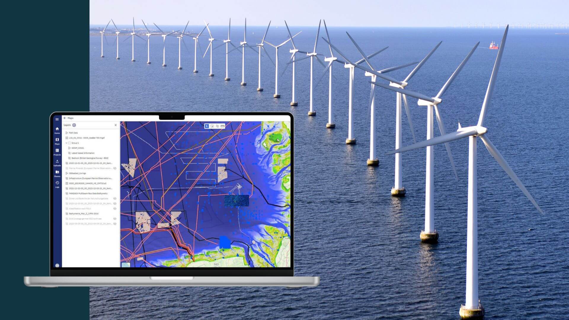
Wind farm projects, often stretching over 60, 100, and more square kilometers in ocean areas, are designed for 30 years of operations. The enormity of data generated from the initial site surveys to the successive updates, encompassing detailed underwater site information about the changing status of foundations, cable traces, and environmental impact, is staggering. This data remains crucial throughout all phases of an offshore wind farm: from planning and installation to operations and, eventually, decommissioning.
The primary challenge lies in maintaining central storage for this enormous and growing amount of data, ensuring its accessibility and availability over decades for varying stakeholders, including changing wind farm owners. These stakeholders, each with their unique informational needs, require tools to interact with different types of data. The project lifecycle spans various phases:

Each phase has specific data and data handling requirements. Collaboration is essential across several departments, including Geotechnical, GIS, Scour, MetOcean, Environmental, and even with external experts (e.g. UXO). Moreover, future projects now have a global reach, covering areas like Northern Europe, the North and Baltic Seas, the Atlantic and Mediterranean in Europe, the Americas, Asia, Japan, Australia, and Taiwan.
We enable the energy transition to renewable ocean energy. To achieve the ambitious global installation goals for offshore wind the industry needs to grow almost 5x their today's capacity. Automation and digital data workflows are inevitable to reach this scale.
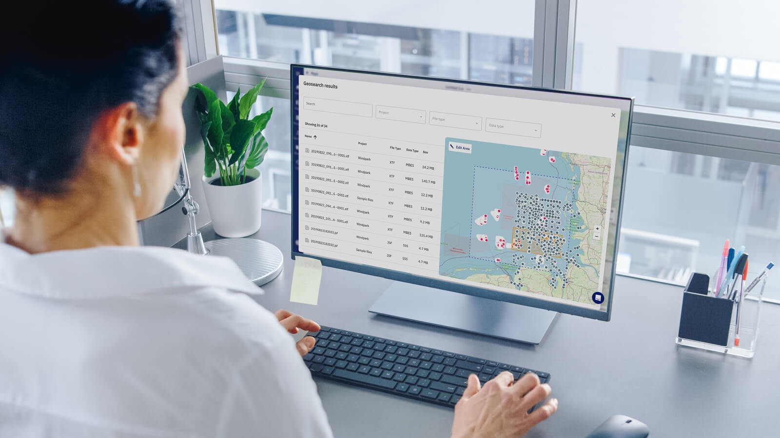
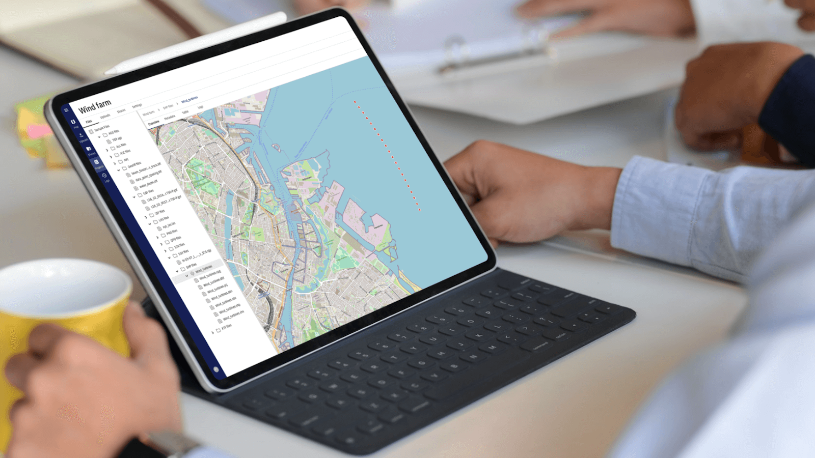
A centralised SaaS data platform, such as TrueOcean, acts as a Geospatial Data Hub for safe data hosting, management, processing, and distribution, offering multiple advantages:

The design of our ocean data platform allows not only the centralised storage and management of data but also the continued integration of additional value layers to integrate growing functionality for the user. This modular approach supports innovation and ongoing integration of future developments. The envisaged value layers of the north.io Value Pyramid are building on one another and consist of:

The north.io Value Pyramid displays the value layers building on one another.
A centralised SaaS platform like TrueOcean as a Geospatial Data Hub is essential for managing the complex and voluminous data associated with wind farm projects. Its scalability, comprehensive functionalities, and ability to standardise the data management process across various phases and stakeholders make it an invaluable asset in the efficient and effective management of the growing project pipeline of wind farms to be developed worldwide.
This technology not only streamlines the workflow but also ensures that every piece of data remains accessible and usable throughout the lifecycle of a wind farm project, and remains a cost-effective and continuously updated software solution over the project lifecycle.
Would you like to see how our geospatial data platform works? Book a demo directly with one of our experts, commitment-free, and tailored to your needs.

1. Eliminating Waiting Times Waiting is a significant source of waste in data workflows. Traditionally, data delivery using physical hard drives has...

In the fast-paced world of offshore energy, "the need for cost efficiency, increasing time pressure and the availability of experts is what keeps...

In today's fast-paced ocean industry, the ability to efficiently manage and locate hydrographic survey and underwater inspection data is crucial. The...

The rapid growth of offshore wind farms has led to an increased demand for accurate and reliable data and data management. The marine data could be...
