1. Embracing Remote Data Access
One of the challenges faced by organizations working remotely is accessing large data sets. Traditional methods of data transfer, such as physical distribution or file-sharing platforms, can be inconvenient and time-consuming. However, with a centralized data storage and a web-based platform like TrueOcean MDP (Marine Data Platform), remote data access is no longer a limitation. Users can access their data from anywhere, at any time, with just a stable internet connection and a web browser.
2. Eliminating Data Transfer Hassles
The ability to send and share big data seamlessly is crucial for remote collaboration. By leveraging a marine data platform, organizations can bypass the need for physical data transfers or the limitations of email attachments. The platform provides a secure and efficient way to share and collaborate on large data sets, eliminating the need for multiple copies or versions of the same data. Project stakeholders retain control over data access, ensuring data security and compliance.
3. Streamlining Data Management
Effective data management is vital when working with geospatial data. A marine data platform offers powerful data management capabilities, enabling organizations to organize, categorize, and search through vast amounts of ocean data. With centralized storage and intuitive interfaces, teams can easily find and retrieve the data they need, enhancing productivity and reducing time spent on data discovery.
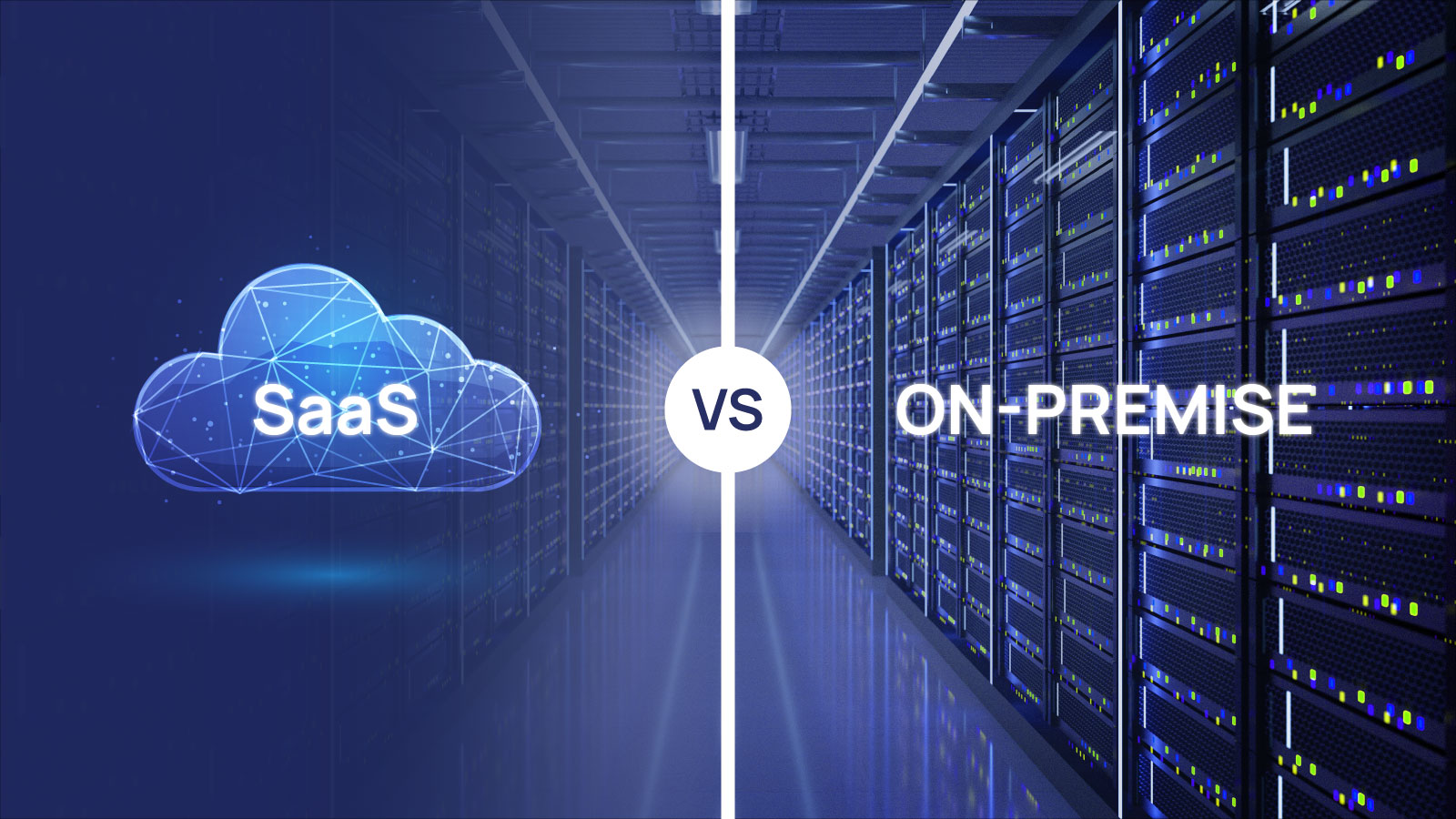
4. Harnessing Cloud Storage
Cloud storage is a key component of a marine data platform. Storing data in the cloud provides several benefits, including scalability, redundancy, and accessibility. Remote teams can leverage cloud infrastructure to store and access large data sets without worrying about hardware limitations or data loss. Cloud-based storage also facilitates efficient collaboration, enabling real-time data updates and seamless integration with other tools and platforms.
5. Empowering Geospatial Data Workflows
Geospatial data plays a critical role in offshore wind and other marine industries. A marine data platform offers advanced capabilities to handle geospatial data efficiently. Users can visualize, analyze, and process geospatial data directly within the platform, eliminating the need for specialized software installations on individual computers. This capability enables teams to collaborate effectively, regardless of their location, and fosters seamless integration of geospatial data into various workflows.
Conclusion
The rise of remote work has demanded the development of innovative solutions that facilitate seamless data access, sharing, and collaboration. A marine data platform serves as a game-changer for organizations working with large geospatial data sets, such as offshore wind companies. By leveraging such a platform, teams can overcome the limitations of physical data transfers, streamline data management, harness cloud storage, and empower geospatial data workflows. The result is improved productivity, cost savings, and enhanced collaboration, making remote work a perfect fit for the new work and changing conditions of today's offshore utilities.
 Admin
Admin