From Pressure to Progress: Turning Subsea Data Overload into Operational Advantage
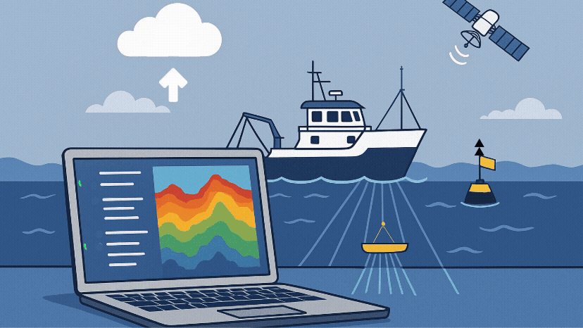
Transforming ocean data overload into operational efficiency through modern data management approaches, enabling subsea professionals to leverage big...
.png)
Transforming ocean data overload into operational efficiency through modern data management approaches, enabling subsea professionals to leverage big...
Optimize seabed surveys with best practices for data quality, transfer, and standardization. Learn how north.io can streamline your ocean data...
NATO's REPMUS 2025 exercise showcased north.io's Ocean Data Platform, enabling near real-time naval data analysis and significantly enhancing...

Discover how north.io revolutionizes ocean big data management, offering advanced tools that go beyond simple cloud storage to unlock the full...
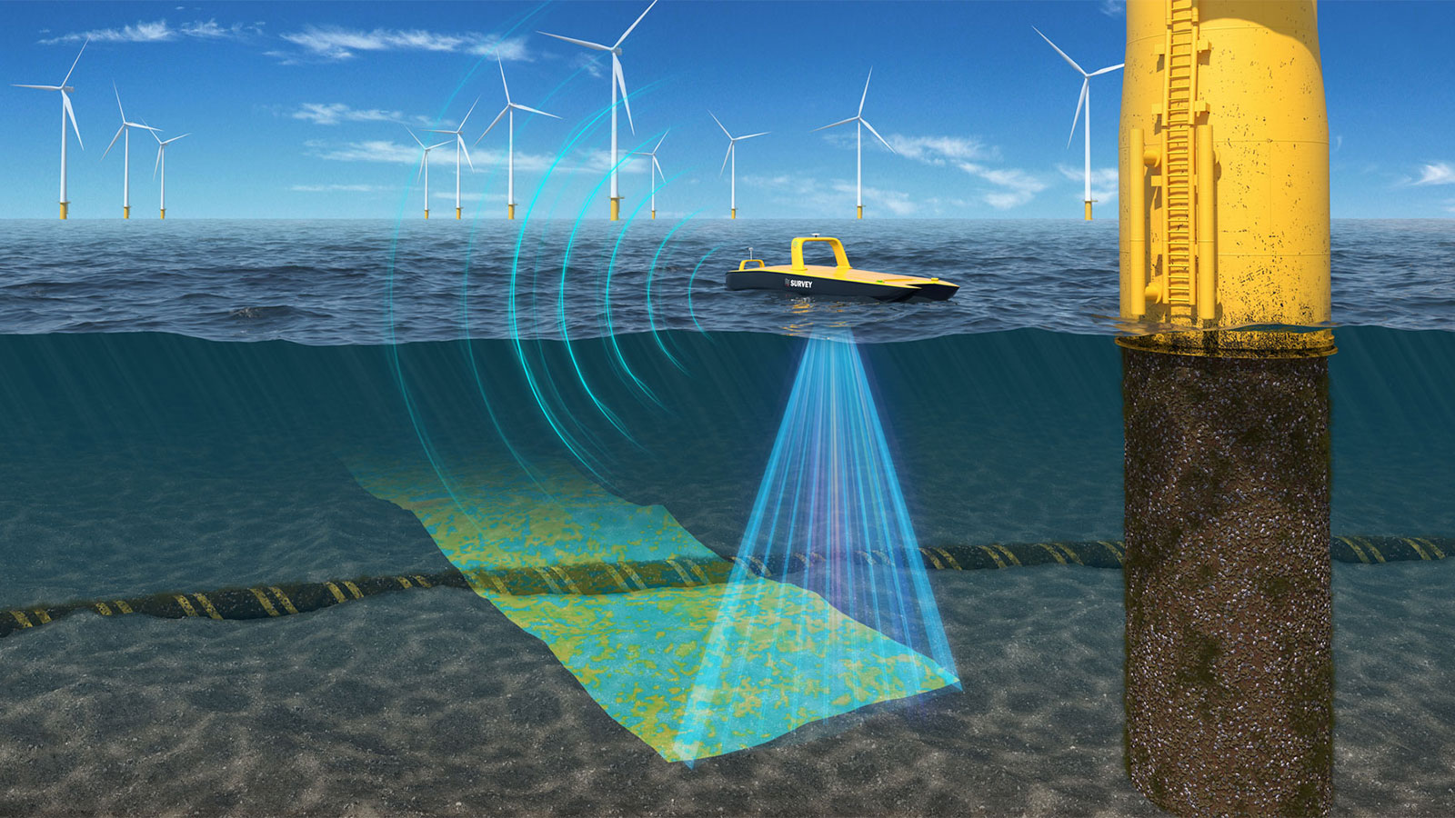
Near real-time underwater data processing eliminates costly re-surveys, enhances asset integrity, and accelerates project timelines, saving offshore...
Discover how Geotagging revolutionizes file search by adding spatial references, enhancing collaboration, and speeding up data-driven decisions on...
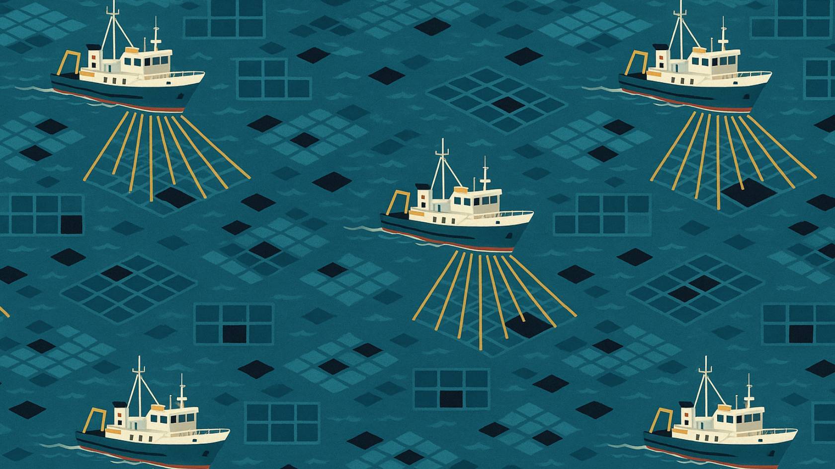
Optimize offshore survey planning with TrackPlanner—cut planning time, improve data quality, and reduce risks with automated, terrain-informed track...
.jpg)
Discover how TrueOcean leverages cloud and AI to revolutionize hydrography, delivering faster, more reliable marine data for better decision-making.
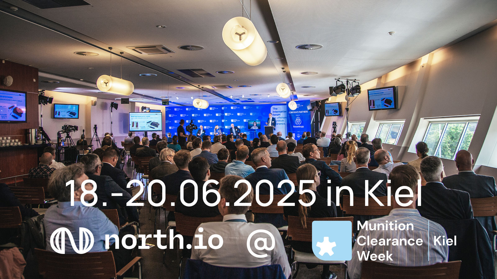
north.io at Kiel Munition Clearance Week 2025: networking, technology demos, and exchange on maritime security and geodata processing.