north.io – the digital enabler at NATO exercise REPMUS 2025
north.io joins NATO REPMUS 2025 in Portugal, utilizing its Ocean Big Data Platform to enhance underwater sensor data integration for maritime...

north.io joins NATO REPMUS 2025 in Portugal, utilizing its Ocean Big Data Platform to enhance underwater sensor data integration for maritime...
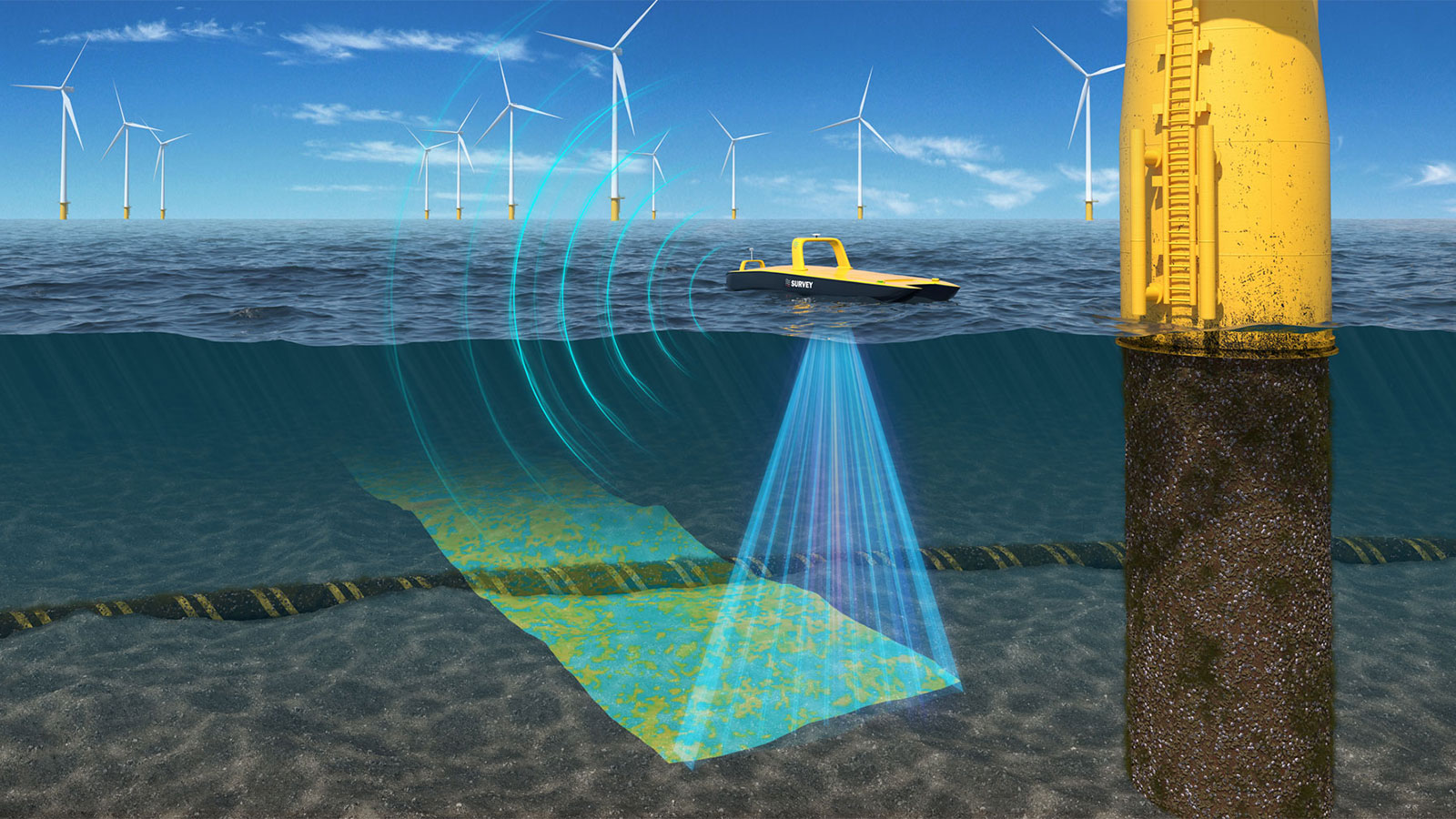
Near real-time underwater data processing eliminates costly re-surveys, enhances asset integrity, and accelerates project timelines, saving offshore...

North.io enhances maritime security by delivering critical underwater data, supporting key projects and exercises to protect vital infrastructure...

Stream and interact with massive offshore datasets in 3D instantly within your browser—no software required. Simplify and accelerate your offshore...
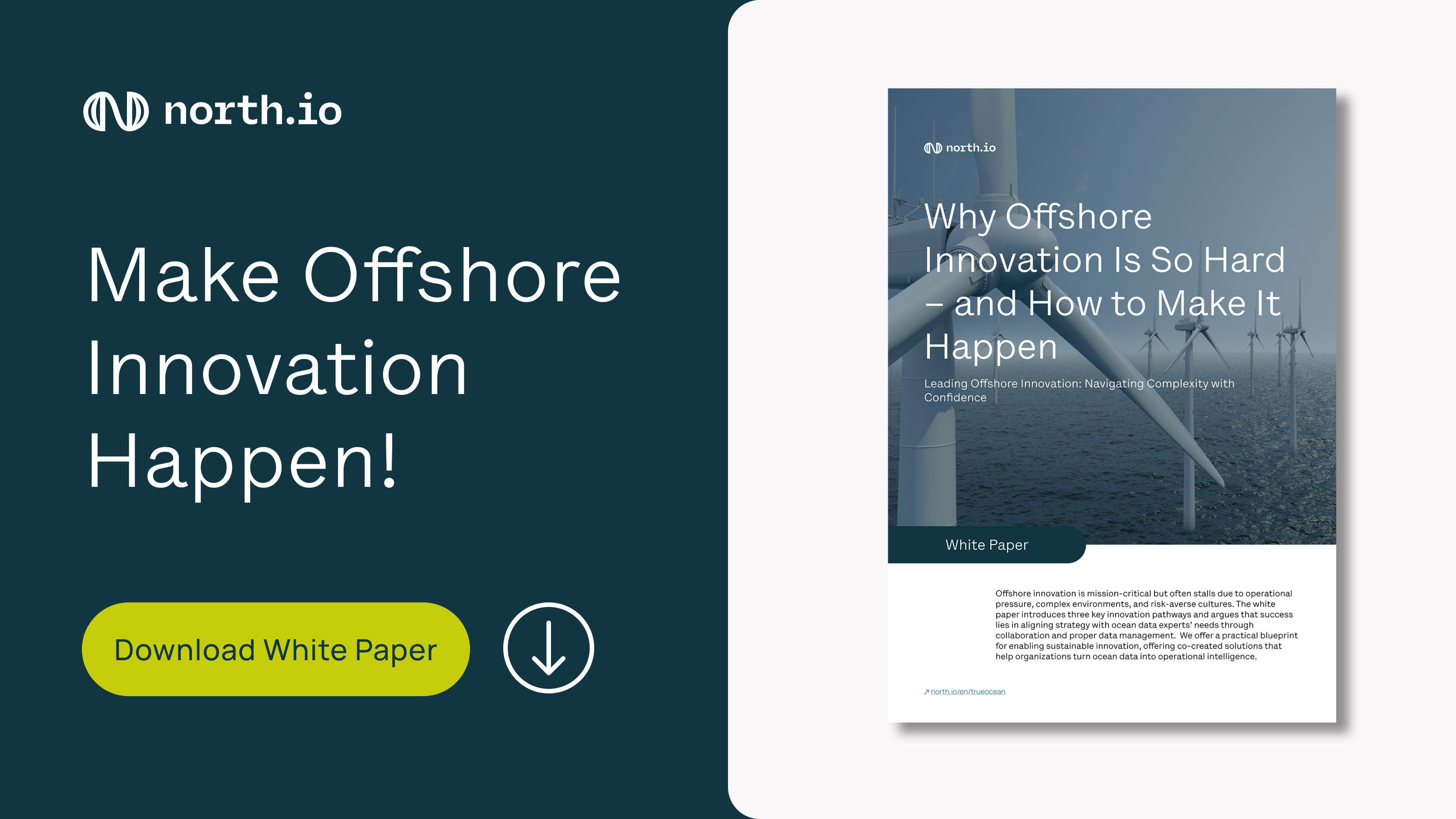
Make offshore innovation happen and lead complexity with confidence. Download the white paper now if you want to know how it can work.
Discover how Geotagging revolutionizes file search by adding spatial references, enhancing collaboration, and speeding up data-driven decisions on...
Optimize offshore survey planning with TrackPlanner—cut planning time, improve data quality, and reduce risks with automated, terrain-informed track...
.jpg)
Discover how TrueOcean leverages cloud and AI to revolutionize hydrography, delivering faster, more reliable marine data for better decision-making.
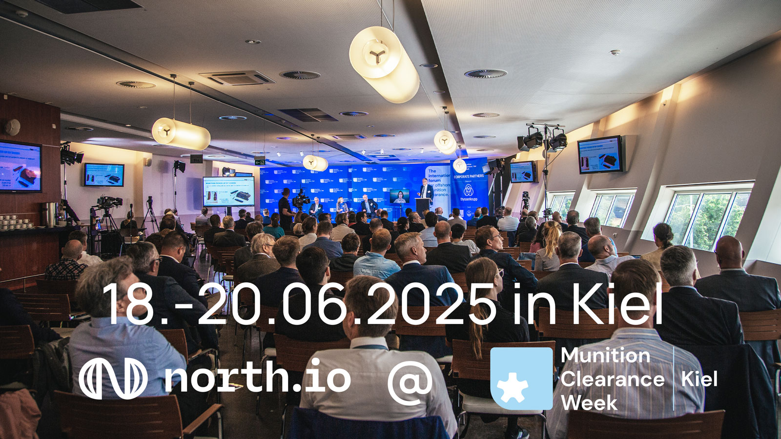
north.io at Kiel Munition Clearance Week 2025: networking, technology demos, and exchange on maritime security and geodata processing.