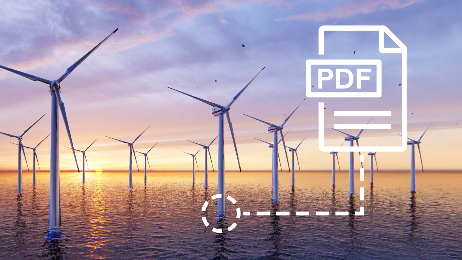
Somewhere off the rugged North Sea coast, a survey vessel battles stubborn winds. On board, a team of hydrographers hunch over glowing monitors, coaxing raw sonar data from the churning seafloor below. They know that beneath the waves lies more than just mud and rock — there are stories waiting to be told: routes for cables, anchors for wind turbines, hidden wrecks, or potential hazards that could cost millions if overlooked.
Back on land, another story unfolds. A project manager checks her email yet again — waiting for the final processed charts, needing answers for an offshore installation plan that starts next week. She wonders: Where is the data? Is it complete? Can I trust it?
The Old Way: Islands of Data, Mountains of Work
For decades, these scenes played out much the same. Powerful vessels collect terabytes of sonar and lidar. Experts spend long nights at their desks, stitching it all together. USB drives change hands. Spreadsheets grow bloated. Deadlines loom.
The result? By the time all stakeholders see the data, it’s often already stale — and the risk of costly surprises grows.
The Turning Point: Cloud and AI Enter the Story
Recently, our colleagues shared an article in the International Hydrographic Review. It’s called “TrueOcean: How Cloud and AI Technologies Are Revolutionizing Hydrography”. For many in the industry, it might read like a bold vision — but for us at North.io, it’s the story we help write every day.
TrueOcean exists because our oceans deserve better data stories:
- Available to everyone who needs it, instantly and securely.
We brought the power of cloud and the speed of AI to an industry that long relied on manual steps and local hard drives. Suddenly, the survey vessel’s sonar feed can be turned into a high-resolution digital twin in record time — ready to guide decisions and reduce risk, while everyone sleeps easier on shore.
A Happier Ending for Your Next Project
What does this mean for you?
Whether you run surveys, build wind farms, or ensure safe navigation, it means:
✨ Less waiting.
✨ Fewer surprises.
✨ A single source of truth — accessible from anywhere, anytime.
Hydrography, once seen as a specialist black box, becomes a connected, living story you can explore, validate, and share in real time.
Take a Deeper Dive
We’re proud to see the IHO shine a spotlight on this shift — because it proves what our clients already know: the future of marine data is smart, open, and fast.
If you’re ready to turn your seabed data into decisions — not headaches — let’s talk.
👉 Reach out to us and we’ll show you how TrueOcean can help your team write a better ocean story.
 Admin
Admin
.jpg)
.jpg)