Geospatial Search: Simplifying Ocean Data Access and Management
In today's fast-paced ocean industry, the ability to efficiently manage and locate hydrographic survey and underwater inspection data is crucial. The...
Geophysical and hydrographic surveys generate vast amounts of data, requiring efficient handling to ensure quality, accuracy, and timely decision-making. Traditional data management methods rely on offshore personnel for processing, manual transfers, and fragmented reporting, which can lead to delays, inconsistencies, and increased operational costs.
The reliance on multiple data storage locations, inconsistent progress reporting, and the need for extensive offshore data processing personnel add unnecessary complexity to survey operations. Additionally, ensuring that all stakeholders are aligned on survey progress, data quality, and project timelines remains a logistical challenge.
In today's competitive landscape for geophysical survey contracts, technical excellence and a proven track record alone are no longer enough to secure tenders. Renewable projects demand speed, agility, and strategic execution, requiring more than just technical supremacy. Success now hinges on identifying the most efficient critical path, enabling informed decision-making, and leveraging the right technology to streamline operations.
This is where TrueOcean becomes a game-changer—not only enhancing tender competitiveness but also accelerating execution by providing real-time insights and optimised workflows. With TrueOcean, companies don’t just win tenders—they execute them with unmatched efficiency.

North.io addresses these operational pain points by offering a comprehensive ocean data management platform, TrueOcean, that integrates real-time data sharing, data standardisation , and seamless collaboration among all stakeholders. The platform ensures that survey progress, data validation, and quality assurance processes are streamlined from the moment data is acquired through to project completion.

With TrueOcean, offshore survey projects can:
By leveraging TrueOcean’s data management capabilities, offshore survey projects can achieve significant cost savings and operational efficiencies:

As the offshore industry continues to evolve, digital transformation will play a critical role in improving efficiency, reducing costs, and enhancing collaboration. TrueOcean is at the forefront of this transformation, offering a scalable and reliable solution to some of the most persistent challenges in offshore survey operations. By integrating advanced data management practices, the industry can move towards more streamlined, cost-effective, and transparent survey processes.
The question is no longer whether to adopt digital data management solutions—but rather, how quickly can we implement them to maximise their benefits?
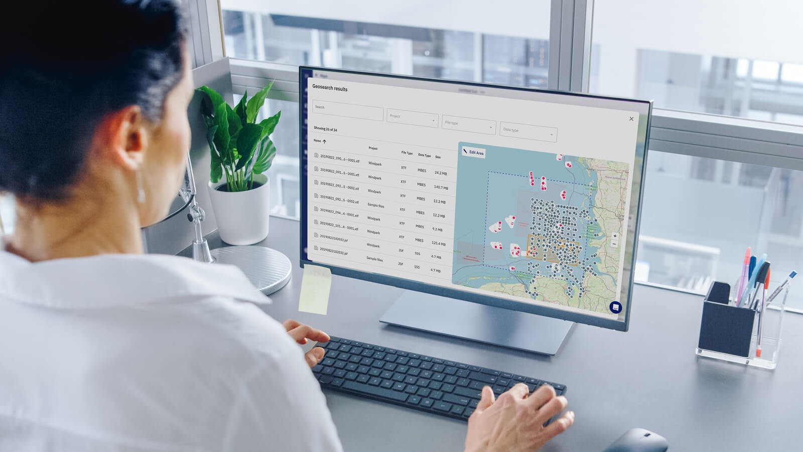
In today's fast-paced ocean industry, the ability to efficiently manage and locate hydrographic survey and underwater inspection data is crucial. The...
The Situation: Managing Underwater Sensor Data Offshore wind developers and survey companies operate in a highly competitive and data-sensitive...

Hydro International’s New Horizons for Hydrography, but Who Will Conquer Them? article paints a positive picture for the short and mid-term future of...
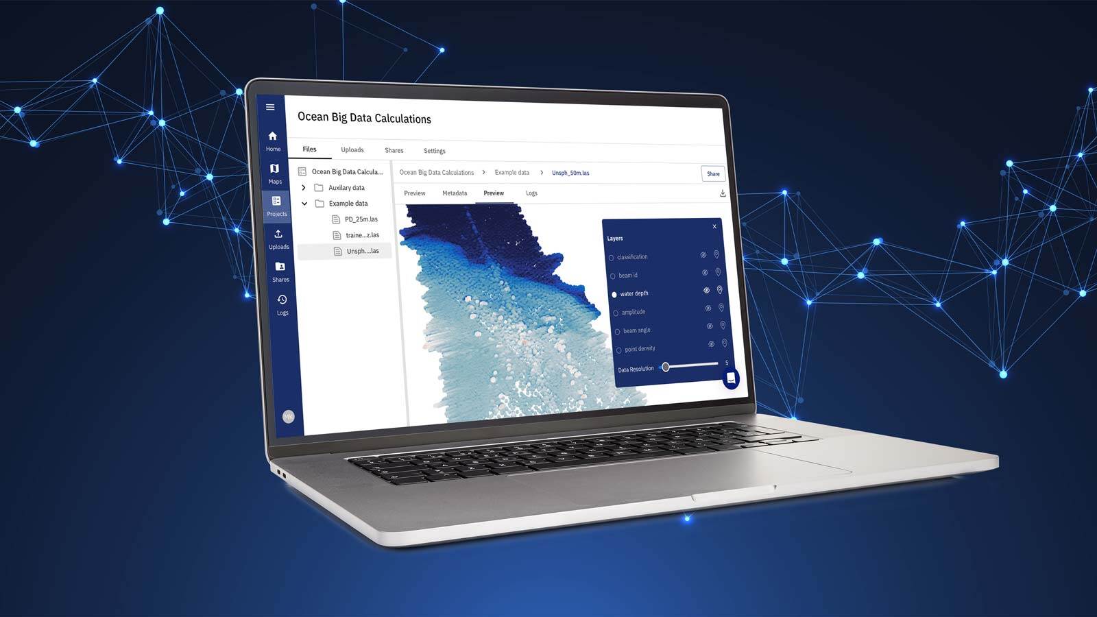
Most marine geophysical surveys follow a similar workflow, such as the one illustrated in Figure 1. Data quality checks are an important task during...
