What Are the Key Challenges and Opportunities in Marine Survey?
Hydro International’s New Horizons for Hydrography, but Who Will Conquer Them? article paints a positive picture for the short and mid-term future of...
Offshore survey operations are critical for industries like offshore wind, marine construction, and oil and gas. They require precise planning, reliable technology, and efficient execution to ensure accurate results while minimising costly delays and errors.
Whether you’re conducting hydrographic surveys, geophysical studies, or environmental assessments, following best practices is essential. Here are 7 Do’s and 7 Don’ts to help you optimise your offshore survey operations in 2025.
✅ Do: Use digital survey planning tools to optimise track lines, sensor settings, and coverage before deployment. Advanced planning helps reduce time at sea, ensuring cost efficiency and higher-quality data.
❌ Don’t: Skip pre-survey data checks. A misconfigured sensor or improper calibration can result in inaccurate data, leading to costly rework and project delays.
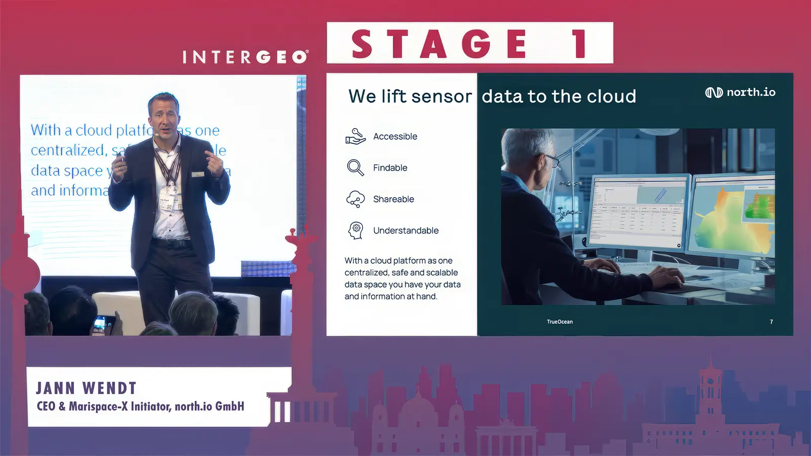
✅ Do: Leverage cloud-based platforms to store, manage, and share survey data efficiently. Cloud solutions such as TrueOcean provide real-time access, improve collaboration, and enhance data security.

Image: north.io's Ocean Data Platform, TrueOcean, showcasing a wind park in its map interface
❌ Don’t: Rely on USB sticks and external hard drives for data storage. These methods increase the risk of data loss, duplication, and version confusion, slowing down workflow and decision-making.
✅ Do: Ensure that the data you collect is accurate, structured, and meaningful. High-quality, well-organised data is far more valuable than large volumes of unstructured or inaccurate information.
❌ Don’t: Ignore metadata and standardisation. Without proper tagging and formatting, data becomes difficult to interpret, share, and reuse, leading to inefficiencies in analysis and reporting.
✅ Do: Weather data modeling and the use of forecasting models during the tendering phase and commercial handovers to quantify environmental risks in the area of interest along with real-time weather and ocean conditions tracking to optimise survey windows and prevent unnecessary risks. Proper monitoring helps avoid equipment damage, safety hazards, and operational delays.
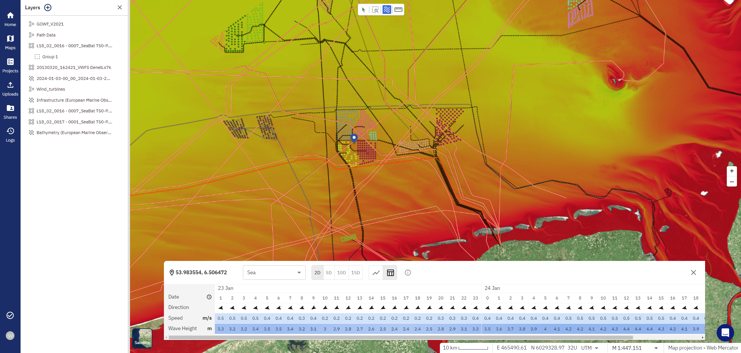
Image: TrueOcean's weather forecasting displayed on its map interface
❌ Don’t: Underestimate environmental factors such as tides, currents, and seabed conditions. Ignoring these variables can compromise survey accuracy and increase operational costs.
✅ Do: Invest in continuous training to keep your team updated on the latest survey technologies, data processing methods, and best practices. Well-trained operators ensure smoother execution and fewer errors.
❌ Don’t: Rely only on experienced operators without ongoing education. Even seasoned professionals need regular training to stay up to date with evolving tools and methodologies.
✅ Do: Utilise AI and automation for anomaly detection, data processing, and workflow optimisation. Automation speeds up survey operations, reduces human error, and enhances efficiency.
Image: TrueOcean’s Geodata Processing Engine powered by AI and automation
❌ Don’t: Manually process everything. Relying solely on manual workflows increases processing time and the risk of inconsistencies in data analysis.
✅ Do: Implement a clear data governance framework to ensure compliance with industry standards, security protocols, and long-term data accessibility. A structured approach to data management ensures reliability and scalability.
❌ Don’t: Leave data management as an afterthought. Poor organisation can lead to lost insights, difficulty in retrieving historical data, and inefficiencies in future projects.
Optimising offshore survey operations in 2025 requires a combination of strategic planning, modern technology, and efficient data management. Avoiding common pitfalls and following best practices can save time, reduce costs, and ensure the highest quality results.
By leveraging cloud solutions like TrueOcean, offshore asset managers, asset owners, and offshore survey companies can streamline workflows, improve data accessibility, and make informed decisions faster by enhancing alignments on the outcomes of any data-centric work in the asset’s location.
Hydro International’s New Horizons for Hydrography, but Who Will Conquer Them? article paints a positive picture for the short and mid-term future of...
1 min read
Having established TrueOcean in November 2019, our focus in the early years was of course on developing our Marine Data Platform (MDP) in line with...
Watch the Video In a world where vast amounts of data drive decision-making processes, managing, and organising complex datasets is crucial, even...
"You want AI, automation, and evidence-based decision-making in offshore projects? It all starts withprecise data and smart data management."
