 Admin
Admin
Standardising Underwater Sensor Data: Key to Offshore Wind Success
Introduction: The Challenge of Diverse Geospatial Data in Offshore Wind Projects Offshore wind projects are a testament to the synergy between...
"You want AI, automation, and evidence-based decision-making in offshore projects? It all starts with precise data and smart data management."
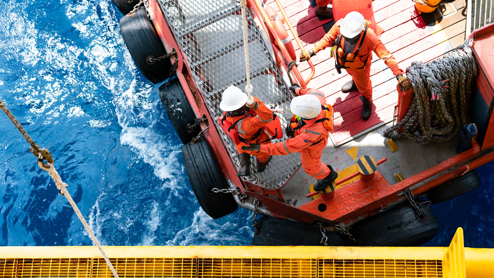
The offshore wind sector is scaling faster than ever – driven by climate goals, political will, and technological progress. From seabed surveys to long-term maintenance, offshore wind developers, utilities, and transmission system operators (TSO) now face a new operational reality: terabytes of ocean sensor data, piling up across every project phase.
And yet, despite this explosion in data, digital transformation stalls. Teams are eager to use AI and automation for smarter planning, efficient operations, risk reduction, and predictive maintenance — but get stuck before they begin. Why?
Because the data is:
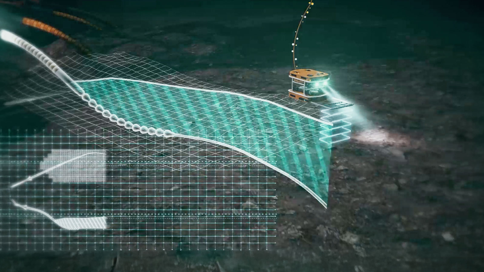
These raw data formats – from sonar to multibeam, from sub-bottom to point clouds –hold the keys to better decisions, but right now they’re trapped in digital silos. No AI system can deliver value without clean, accessible, structured data as input. [BCG (2024), AI Adoption in Energy Should Focus on Agility, Not inAlgorithms]
We at north.io have developed TrueOcean, a cloud-based geodata platform, specifically for offshore stakeholders.
TrueOcean turns raw, scattered, and proprietary marine sensor data into a centralized, searchable, and automation-ready data ecosystem - the critical foundation needed to make digital transformation real [McKinsey (2022), The data-driven enterprise of 2025].
“No AI without data. No automation without structure. TrueOcean turns geodata into a strategic asset.”
TrueOcean supports dozens of sensor formats, including:

|
What You Get |
Why It Matters |
|
Centralized marine data hub |
One place for all project data, from survey to operation |
|
Automated file parsing & QC |
Save weeks of manual work per project |
|
High-performance processing |
Turn raw data into GeoTIFFs, WMS & analytics-ready outputs fast |
|
Interoperable formats |
Supports 40+ formats across geophysical, geotech & climate data |
|
Secure cloud access |
Collaborate with partners, contractors, and regulators instantly |
|
API and automation capabilities |
Integrate TrueOcean into your digital workflows |
Digital transformation doesn’t start with buzzwords — it starts with building the groundwork. TrueOcean helps offshore organizations turn their raw sensor data into actionable knowledge and improve data management workflows. Only when your data is organized, accessible, and process-ready can AI live up to its promise.
Get started today at www.trueocean.io – your marine data, organized.
Introduction: The Challenge of Diverse Geospatial Data in Offshore Wind Projects Offshore wind projects are a testament to the synergy between...

With targets and deadlines connected to the United Nations Sustainability Goals (UN SDG), Glasgow Climate Pact (COP 26), and Germany’s Wind Energy at...
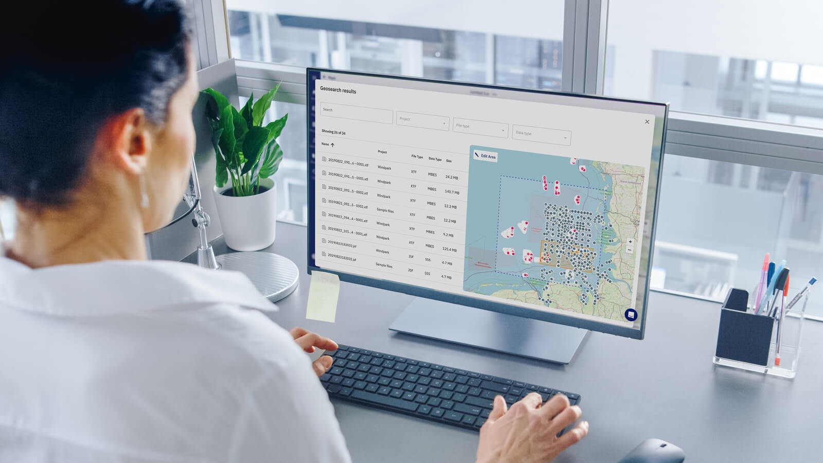
In today's fast-paced ocean industry, the ability to efficiently manage and locate hydrographic survey and underwater inspection data is crucial. The...
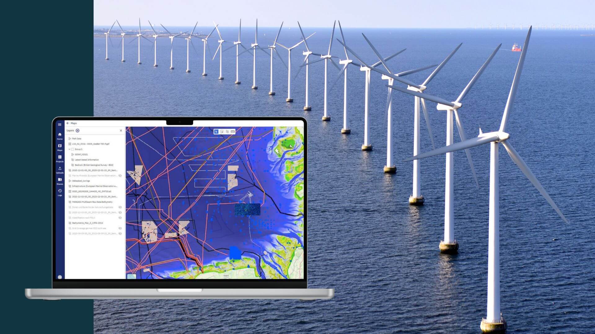
Introduction Wind farm projects, often stretching over 60, 100, and more square kilometers in ocean areas, are designed for 30 years of operations....