 Admin
Admin


The Future of File Search Is Spatial – Introducing Geotagging!
We’re excited to announce our latest innovative feature on all north.io data platforms: Geotagging.
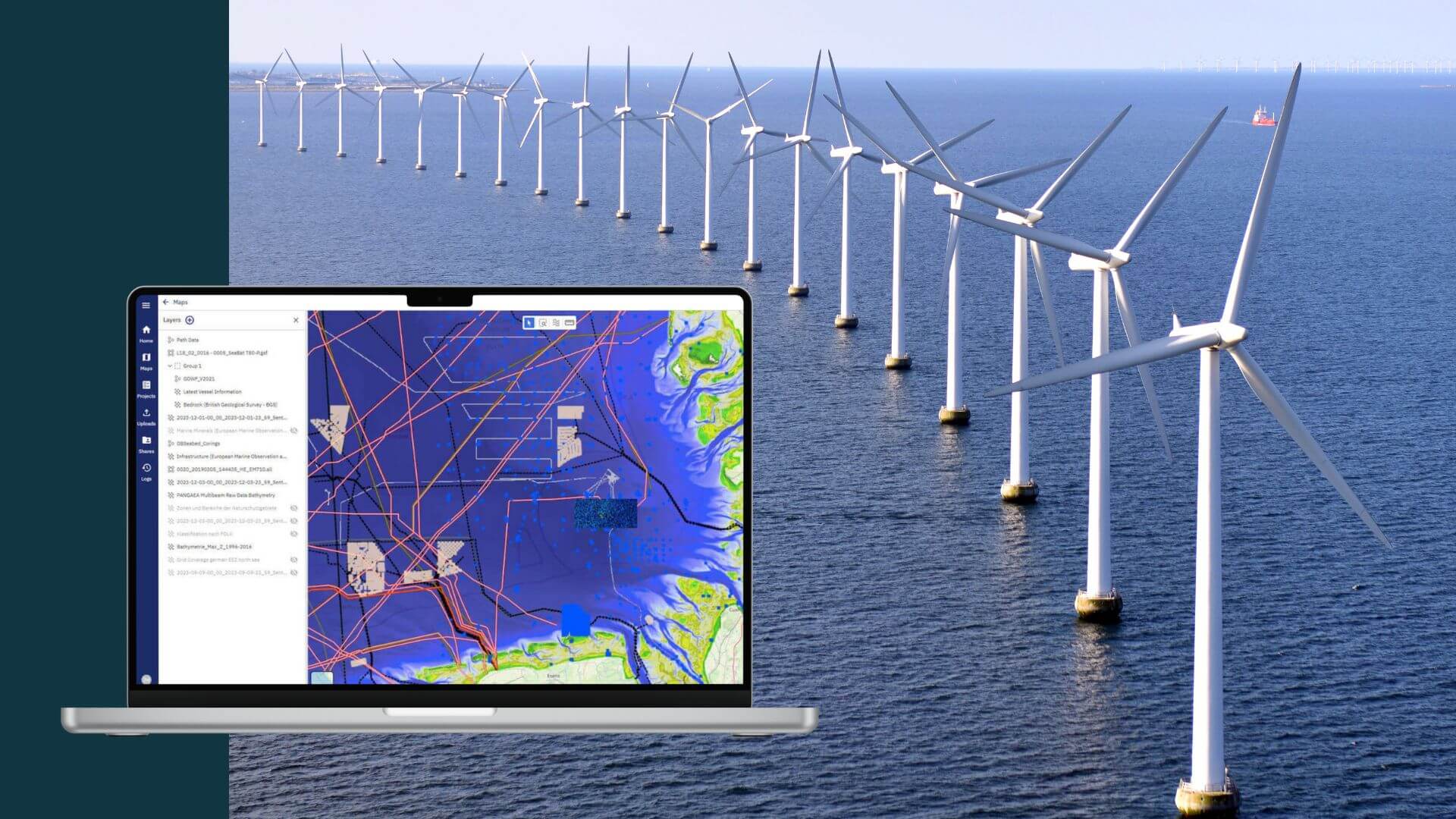
In today's fast-paced ocean industry, the ability to efficiently manage and locate hydrographic survey and underwater inspection data is crucial. The north.io team has included within its Ocean Data Platform, a geospatial search function designed to transform data accessibility.
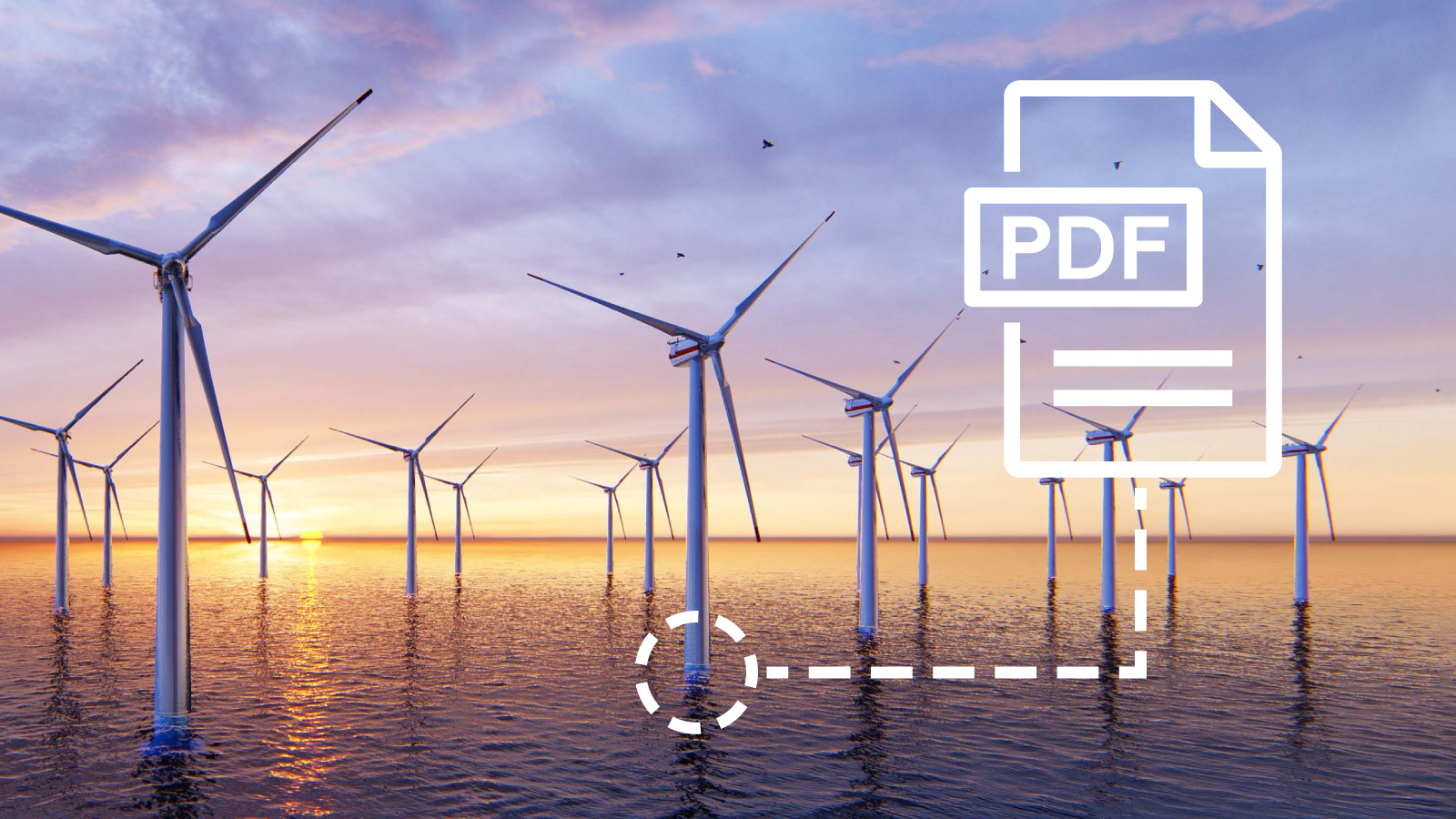
Ocean and underwater data management often face issues of disorganization and inefficiency. Data acquired from various sensors, such as multibeam echosounders, side scan sonar, magnetometers, and sub-bottom profilers, generate numerous files in various, partly proprietary formats. These files can accumulate several gigabytes, even terabytes or petabytes, making data management complex. Traditionally, finding specific data involved sifting through unclear file names and deep folder hierarchies, a process that was both time-consuming and prone to error.
Internal inefficiencies, such as limited data findability and lack of structured access, further exacerbate these challenges. Data often resides in disparate silo storages—local networks, individual computers, hard drives, various cloud services, and even email attachments—making the search process slow and frustrating. This inefficiency not only slows productivity but also significantly increases operational costs.
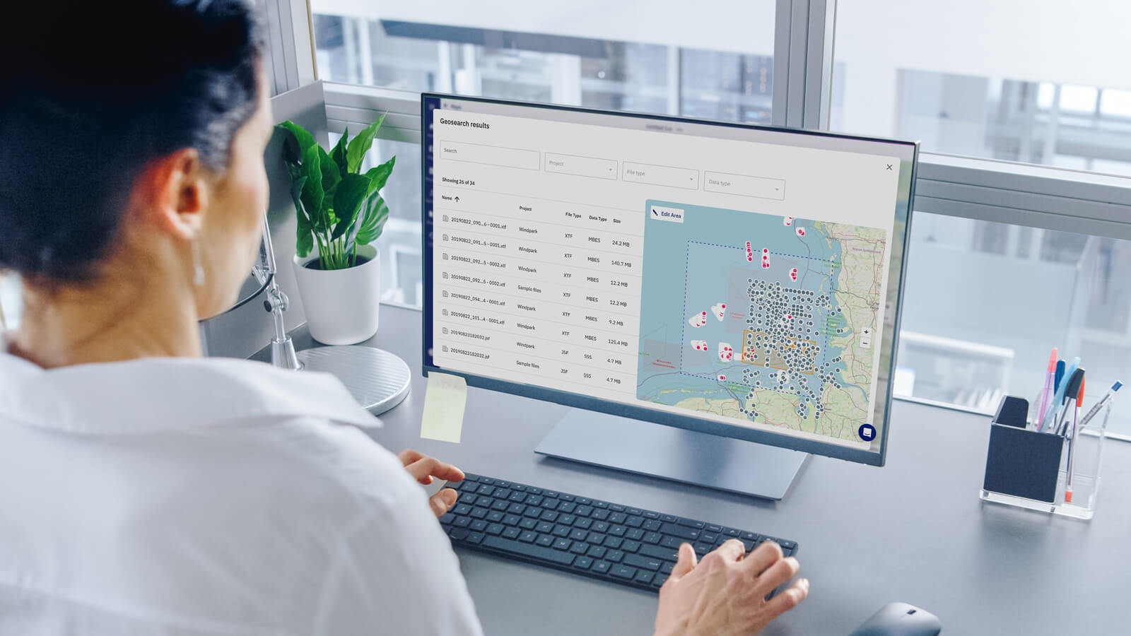
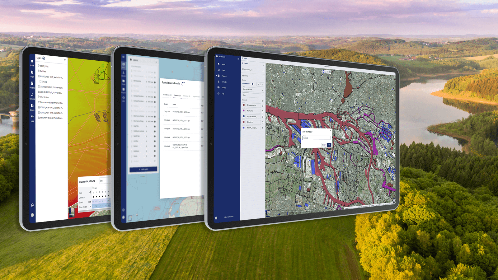
The geospatial search function on north.io’s Ocean Data Platform tackles these challenges directly. Users can now locate and access data in seconds using a user-friendly, map-based interface. By simply selecting the desired area on the digital map, users can view a list of available files, georeferenced and tagged with metadata automatically during file upload. This eliminates the need for manual intervention and uses an intelligent search algorithm to match results accurately based on map inputs.
*Example: x = 8h, y = 50€ search costs = 400€ "z" are opportunity costs, i.e. the hours that could have been sold to a customer instead. Usually the hourly rate is higher than the internal costs. We consider opportunity costs to be z = 200% search costs*200% 400€ * 200% = 800€ for just a single search activity.
north.io's Ocean Data Platform, with its advanced geospatial search function, is setting a new standard in marine data management. By addressing the core challenges of data chaos and inefficiency, the solution is empowering users to harness the full value of their data, driving both operational and commercial benefits.
For more information about how our solution allows easier ocean data management visit our product page.
Embrace the future of marine data management with north.io, where data findability meets unparalleled efficiency.
We’re excited to announce our latest innovative feature on all north.io data platforms: Geotagging.
Introduction Wind farm projects, often stretching over 60, 100, and more square kilometers in ocean areas, are designed for 30 years of operations....
Geospatial Data Management with north.io In the geoinformation sector, the demand for intuitive, cloud-based solutions has surged. The ability to...

1. Eliminating Waiting Times Waiting is a significant source of waste in data workflows. Traditionally, data delivery using physical hard drives has...