SeaSEC 2026: German Navy uses north.io’s Ocean Data Platform
The German Navy uses the Ocean Data Platform from north.io - the Kiel-based company as part of the functional and organizational team of SeaSEC 2026.
.png)
The German Navy uses the Ocean Data Platform from north.io - the Kiel-based company as part of the functional and organizational team of SeaSEC 2026.
.png)
Maritime Coordinator Dr. Christoph Ploß visits north.io in Kiel to learn about innovative solutions for securing critical maritime infrastructures.
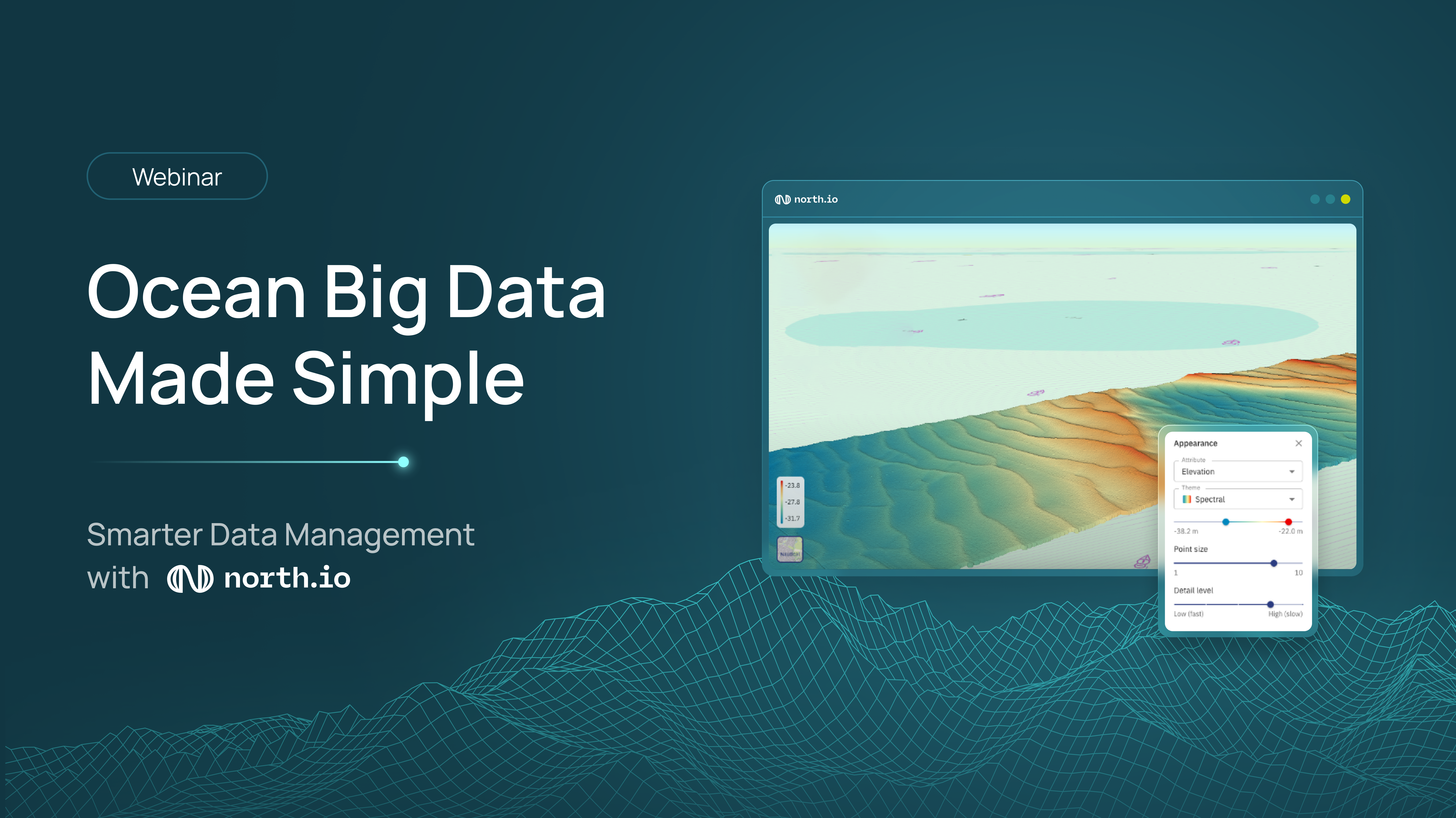
Learn how to simplify ocean data management and turn complex datasets into actionable insights with expert-led strategies and modern data platforms....
.png)
north.io and Chesapeake Technology collaborate to enhance marine data workflows, integrating the Ocean Data Platform with SonarWiz FATHOM for...
.png)
Transforming ocean data overload into operational efficiency through modern data management approaches, enabling subsea professionals to leverage big...
.png)
north.io's 2025: A year of innovation, global recognition, and strategic repositioning in geospatial and ocean big data solutions. Discover our...
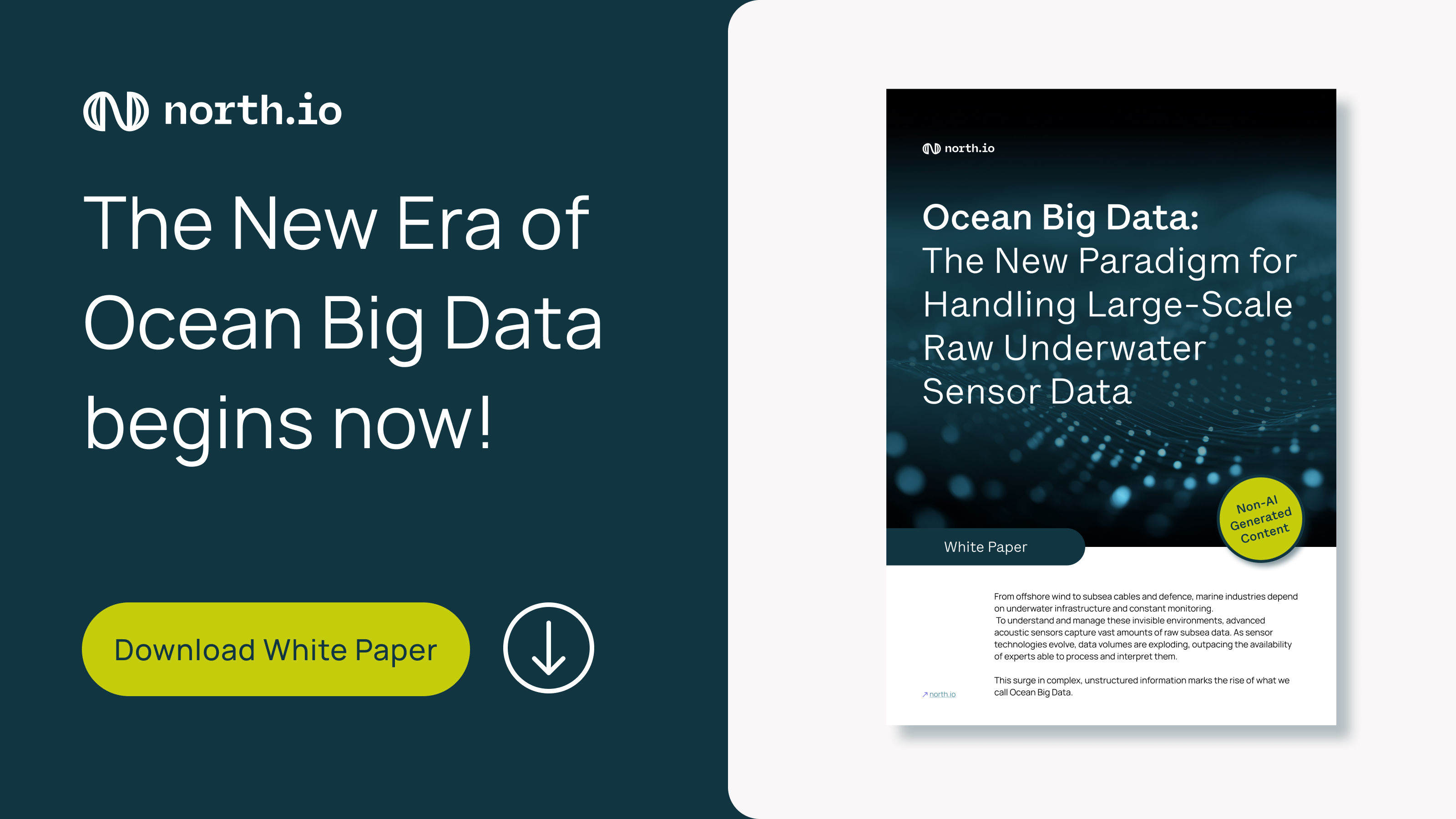
Download our latest white paper to discover how Ocean Big Data is reshaping maritime decision-making and unlocking new possibilities for large-scale...

Discover how Ocean Big Data is revolutionizing subsea operations by transforming raw sensor data into actionable insights for energy, communication,...
.png)
MEKUN Schleswig-Holstein uses north.io's TrueEarth platform for efficient geodata management to optimize work processes and improve environmental...