Introducing a New Series: TrueOcean's Geodata Processing Engine
Building on the progress we’ve made over the past year with the development and release of TrueOcean’s Geodata Processing Engine, we’re excited to...
Most marine geophysical surveys follow a similar workflow, such as the one illustrated in Figure 1. Data quality checks are an important task during or between almost all steps shown in Figure 1. However, the data quality checks are often conducted manually and based on interpretations by the surveyors or external consultants (client representatives). Hence, they are both subjective and qualitative. Therefore, performing a more objective and quantitative data quality check is desirable. In the research article “Offshore Unexploded Ordnance Detection and Data Quality Control – A Guideline” Wehner and Frey describe a workflow that includes a more quantitative data quality control method for the use case of marine unexploded ordnance (UXO) detection.

Figure 1: Typical workflow for marine geophysical surveys. Data quality checks can be conducted at every step. The step where the data quality check is indicated here refers to the content of this blog and the corresponding research article.
The detection of old submerged ammunition that is located on or below the seabed is an important preparatory work for offshore projects. The most commonly used sensor types for the task of the detection are multibeam echosounder, side scan sonar, subbottom profiler, and magnetometers. The research paper describes these sensors and their working principles. In addition, it defines quantitative data quality factors for all four sensor types. The data quality factors are measurable properties that determine whether survey data are fit for detecting a specified reference object (munition object). The definition of these data quality factors was achieved by performing the following steps:
(1) Research on existing guidelines, standards, technical documents, research articles, and the creation of an initial list of data quality factors.
(2) Distribution of a questionnaire to stakeholders from industry and academia that led to an updated list of data quality factors based on the received answers.
(3) Online and onsite workshops with stakeholders from industry and academia to discuss details and further update the required data quality factors.
(4) Data quality factors were distributed to all involved stakeholders for a final review.
In addition to the list above, thresholds are recommended based on the properties of the specified reference detectable object. The recommended thresholds were also defined throughout the steps described above. It is possible to compute all data quality factors for every data point of the survey data, meaning on the point cloud and not the interpolated raster data. Subsequently, they can be evaluated relative to the defined threshold. Data quality factors for the multibeam echosounder are, e.g., the data point spacing and the beam footprint area. The beam footprint area is a combination of the beam footprint across track and along track that are described in the research article. The usage of the data quality factors is illustrated on example multibeam echosounder data (bathymetry) in Figure 2. It shows data quality for two reference objects, and the previously mentioned data quality factors. The benefit of the data quality factors is that the user can easily understand the data quality. They allow judging whether the defined reference object is detectable in the data or not. In addition, as the data quality factors are computed for every data point, data filtering based on the defined thresholds could also be conducted easily.

Figure 2: Exemplary usage of data quality factors for a multibeam echosounder data set (bathymetry), two reference objects, and exemplarily chosen data quality factors. (adapted from https://doi.org/10.1121/2.0001492).
In summary, the benefits of the described data quality factors are
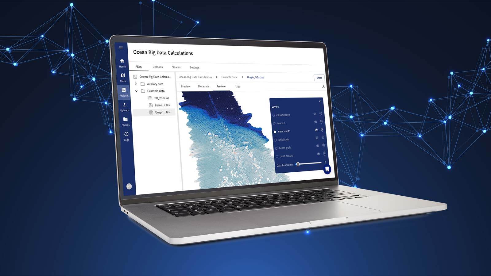
To further enhance the efficiency and reliability of marine geophysical surveys, leveraging advanced digital tools like TrueOcean’s Geodata Processing Engine can be a game-changer. As highlighted in our article "Streamline Ocean Data with TrueOcean's Geodata Processing Engine", this cloud-based platform is designed to process, manage, and visualize large volumes of geospatial data. Integrating such platforms into workflows allows surveyors to automate data quality checks, enabling objective and quantitative evaluation with unprecedented speed and accuracy.
Image: north.io's Ocean Data Platform showcasing its Geodata Processing Engine in action.
By combining the data quality factors discussed in the research article with TrueOcean's scalable processing capabilities, marine UXO detection can become more precise, streamlined, and ready for AI-powered insights, reducing project risks and ensuring compliance with industry standards.

Building on the progress we’ve made over the past year with the development and release of TrueOcean’s Geodata Processing Engine, we’re excited to...

1 min read
Kiel, 16 May 2023 TrueOcean’s innovative cloud-based Marine Data Platform (MDP) for optimising offshore wind project development and operations...

The Situation: Managing Underwater Sensor Data Offshore wind developers and survey companies operate in a highly competitive and data-sensitive...

Offshore survey operations are critical for industries like offshore wind, marine construction, and oil and gas. They require precise planning,...
