Streamline Ocean Data with TrueOcean’s Geodata Processing Engine
Over the past year, north.io has made significant advancements with the development and release of TrueOcean’s Geodata Processing Engine.This new...
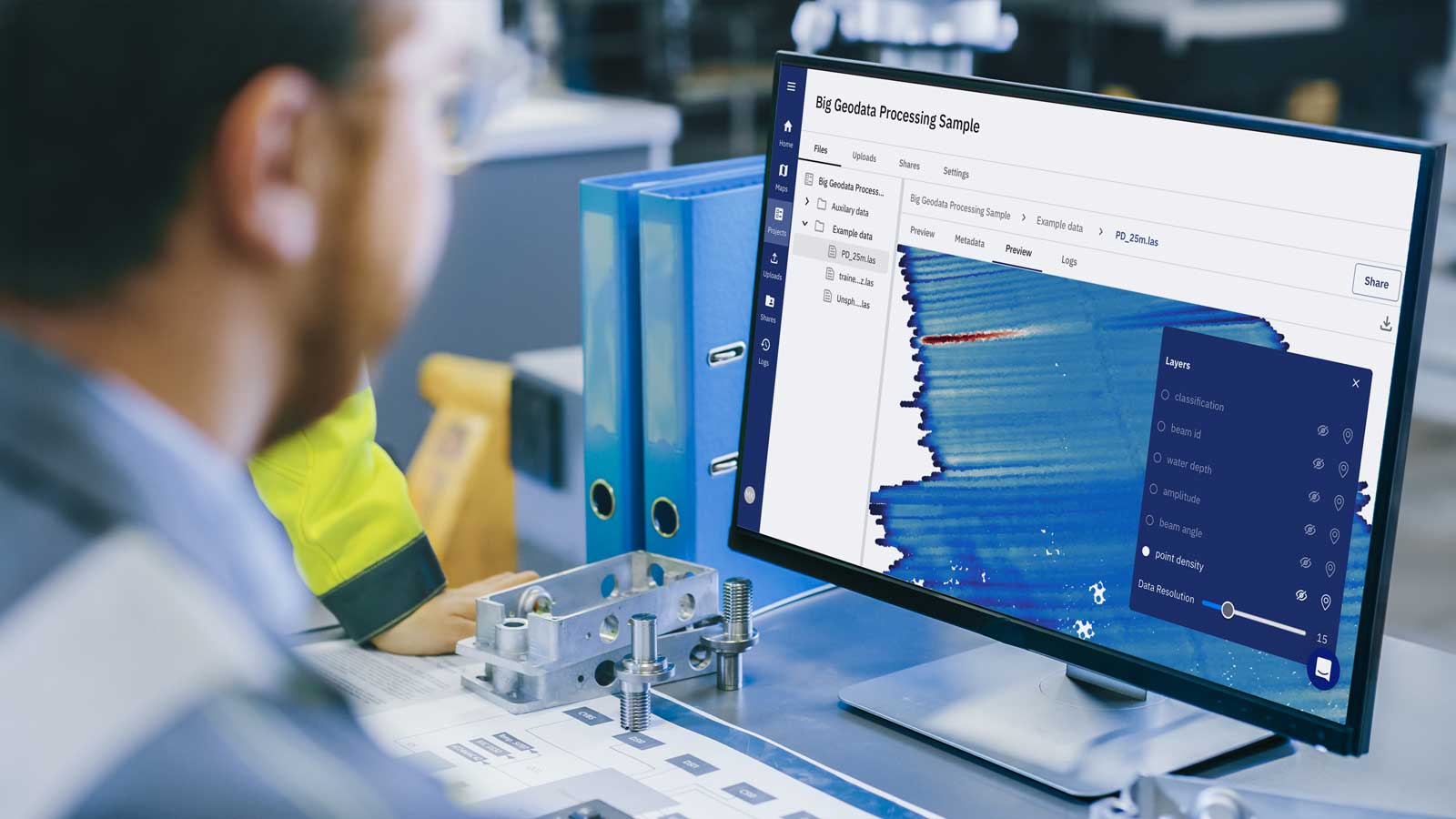
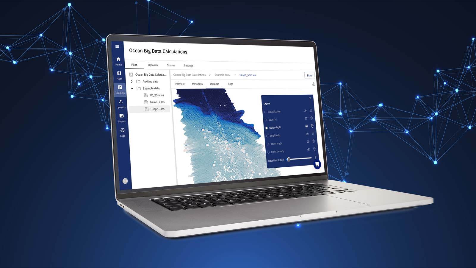
Building on the progress we’ve made over the past year with the development and release of TrueOcean’s Geodata Processing Engine, we’re excited to introduce a new series of articles. In these upcoming blogs, we’ll dive deeper into the specific features and innovations that set our engine apart, offering insights into the capabilities that have made it a powerful tool for ocean data processing.
As highlighted in our previous blog, the Geodata Processing Engine enables efficient handling of vast ocean datasets, automates complex analysis, and supports cloud-based scalability. We’ve successfully enabled raw point cloud processing, introduced advanced analytical algorithms for data analysis, and expanded support for diverse geospatial formats—all key advancements in ocean data management.
Now, it’s time to explore how these breakthroughs translate into practical benefits for various stages of data processing.
In this series, we’ll focus on four key areas:

Each of these areas offers specialized capabilities, providing users with a comprehensive toolkit to optimize their ocean data processing workflows, increase efficiency, and uncover valuable insights.
Stay tuned as we explore each topic in detail, sharing how TrueOcean’s Geodata Processing Engine is helping industries streamline their ocean data processes like never before.
Want to know more? Discover how TrueOcean's Geodata Processing Engine harmonises your ocean data and fuses it with the computing power of the cloud with our latest blue paper.

Over the past year, north.io has made significant advancements with the development and release of TrueOcean’s Geodata Processing Engine.This new...

Most marine geophysical surveys follow a similar workflow, such as the one illustrated in Figure 1. Data quality checks are an important task during...

The Situation: Managing Underwater Sensor Data Offshore wind developers and survey companies operate in a highly competitive and data-sensitive...
