1 min read

Streamline Ocean Data with TrueOcean’s Geodata Processing Engine

Streamline Ocean Data with TrueOcean’s Geodata Processing Engine

Over the past year, north.io has made significant advancements with the development and release of  TrueOcean’s Geodata Processing Engine. This new module within the ocean data platform TrueOcean brings cutting-edge capabilities for processing and analyzing large-scale ocean data, marking a key innovation in our platform. 


Key Achievements: 

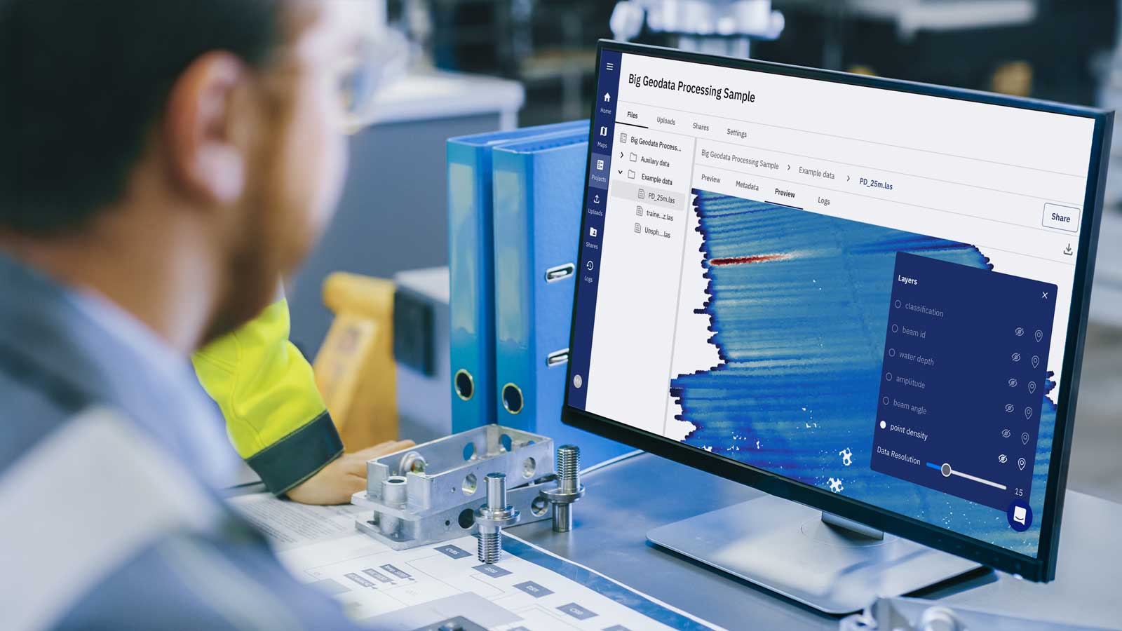
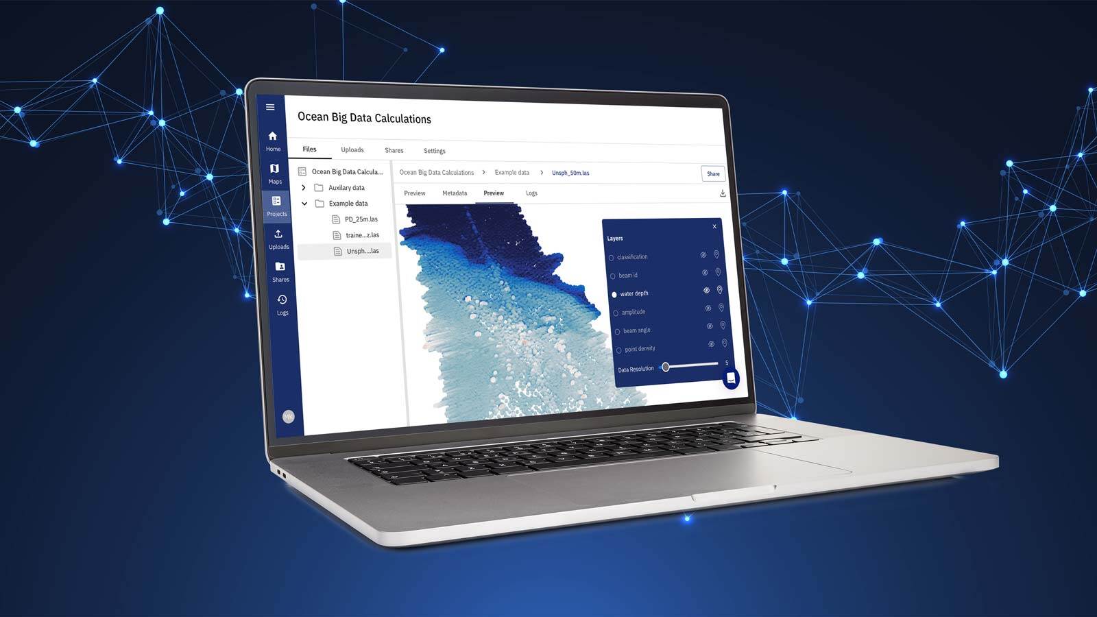
  • Big Data Processing: The Geodata Processing Engine enables our users to handle vast and complex ocean datasets efficiently, without the need for rasterization or interpolation, which often introduces errors and information loss. This capability provides more precise, high-fidelity analyses directly from raw point cloud data. 
  • Cloud-Based Scalability: Our cloud infrastructure supports the distribution of computational tasks across multiple servers, optimizing performance and resource allocation. This setup ensures that users can scale their data processing capabilities according to project needs, overcoming the limitations of local hardware. 
  • AI-Driven Analysis: The engine incorporates advanced AI-driven algorithms to automate complex data processing tasks, such as quality assessment, morphometric analysis, and geometric characterization. This automation accelerates data processing and unlocks valuable insights from complex datasets like multibeam sonar, side-scan sonar, and seismic data. 
  • Point Cloud Processing: We have successfully enabled the processing of raw point cloud data, which preserves the full integrity of the original data. This advancement allows for more accurate results and shorter workflows, making it particularly valuable for industries working with high-resolution marine survey data. 
  • Broad Format Support: TrueOcean’s Geodata Processing Engine now supports a wide array of geospatial data formats, including those from multibeam echosounders, side-scan sonar, seismic sensors, and climate-related datasets. This flexibility makes it a versatile tool for industries working with diverse geospatial data types. 

Fig3A_TOpreview_bathy-height

Benefits Realized: 

✔️  Faster Turnaround: Our solution delivers up to 50% faster processing times, enabling users to move from data collection to actionable insights in a fraction of the time. 

✔️  Cost Savings: By automating workflows and reducing manual intervention, users have experienced a 35% reduction in costs associated with data processing. 

✔️  Enhanced Efficiency: With streamlined workflows, users benefit from a 75% improvement in overall efficiency, allowing them to manage and process their ocean data with minimal overhead. 

These achievements position TrueOcean’s Geodata Processing Engine as a powerful tool for our users, enabling them to fully optimize their ocean data and derive meaningful, data-driven insights for their projects.

Want to know more? Discover how TrueOcean's Geodata Processing Engine harmonises your ocean data and fuses it with the computing power of the cloud with our latest blue paper.

Bluepaper_Big Data_Featured_Image

You might also like

Introducing a New Series: TrueOcean's Geodata Processing Engine

Introducing a New Series: TrueOcean's Geodata Processing Engine

Building on the progress we’ve made over the past year with the development and release of TrueOcean’s Geodata Processing Engine, we’re excited to...
Offshore Unexploded Ordnance Detection and Data Quality Control

Offshore Unexploded Ordnance Detection and Data Quality Control

Most marine geophysical surveys follow a similar workflow, such as the one illustrated in Figure 1. Data quality checks are an important task during...
Q&A with north.io CEO: Revolutionising Offshore Data Efficiency with TrueOcean

Q&A with north.io CEO: Revolutionising Offshore Data Efficiency with TrueOcean

In the fast-paced world of offshore energy, "the need for cost efficiency, increasing time pressure and the availability of experts is what keeps...