north.io Hackathon Team gears up for Digital Ministry's DataRun2023.
Hamburg. "Marine data for the future": Government and authorities collect a large amount of high-quality maritime data, also for the protection of...
3 min read
Admin
Jun 16, 2023

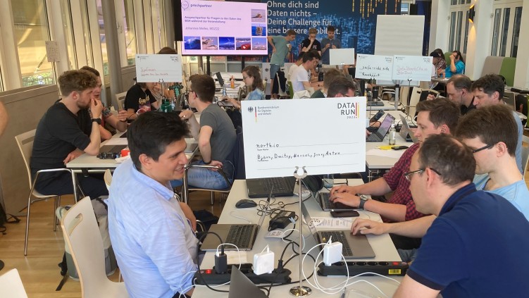
Hamburg. The past 5th DataRun of the German Federal Ministry of Transport and Digital Infrastructure (BMDV) from June 9 to 10 was won by the team of north.io GmbH in the category "Most unusual approach" with an application for more security of critical infrastructures (CRITIS) in the sea:
Against the backdrop of the Elbe River, the five-person team at the Federal Maritime and Hydrographic Agency (BSH) was the only team to develop a functional app within 24 hours that, in a first step, uses artificial intelligence (AI) and remote sensing data from satellites to detect moving objects and suspicious ships in the vicinity of KRITIS in the sea - even if applications such as the Automatic Identification System (AIS) have been switched off or manipulated by them.
The featured app detects suspicious vessel movements near critical infrastructure and can schedule the deployment of Autonomous Underwater Vehicles (AUVs) for inspection: In a second step, the app then enables underwater drones to approach the KRITIS in the vicinity of the suspicious object in order to automatically clarify the underwater situation there - for example, to detect or exclude mines.
Example image of an autonomous underwater vehicle checking critical infrastructure on the seabed (Image: TrueOcean):
BSH President, Professor Helge Heegewaldt, host of the BMDV Hackathon was pleased to see north.io's maritime application win the award:
"It was a great 24 hours at the BSH with many creative ideas from the hackers and very deserving award winners - congratulations! Especially to the team north.io GmbH for the award in the category "unusual approach". He went on to say, "Tracking ships via satellite data analysis can make ocean use even safer and less prone to disruption."
After all, the explosions on the Nord Stream pipelines have shown how vulnerable the western maritime critical infrastructure is. Experts now even assume that Russia has already mined parts of the Western underwater infrastructure in order to be able to carry out possible acts of sabotage in the future.
That's why it's now important to quickly find solutions and identify ways in which authorities and companies can use digitalization to ensure the best possible protection for marine infrastructure in the future, says Jann Wendt, CEO of north.io.
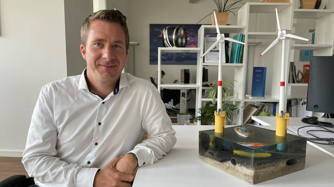
north.io CEO Jann Wendt at the last Council of the Baltic Sea States meeting, where he informed ministers about the untapped potential of maritime data fusion and BigData analytics in the offshore sector:
"Our digital tools create the knowledge so our government and corporate customers can give themselves the answers and make informed decisions and perform risk analysis."
After winning the competition, which the 70-strong company is very proud of, a project would now be pursued with the BSH and other partners from science and industry to complete such an application to better protect CRITIS at sea.
"We have AI expertise for the maritime environment, a great interdisciplinary as well as international team, and our application area is currently not only red-hot, but also highly relevant."
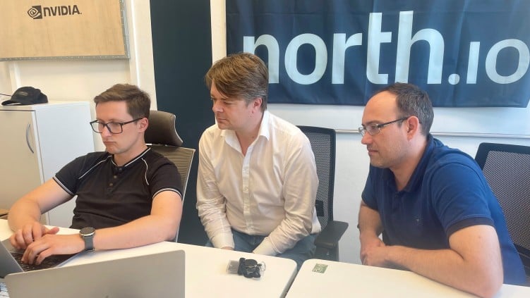
Marcel Louwers, Team Lead of the north.io Hackathon Team
The team experienced at first hand just how fire-threatening and thoroughly realistic the topic of maritime CRITIS currently is as a whole when a major fire broke out near the port in the immediate vicinity of the venue in Hamburg's Hafencity district, darkening the sky.
"It gives us a good feeling to know that we can make a concrete contribution to the safety of our population with our work here,"
Louwers emphasized in conclusion.
View from the BSH building on the major fire in HafenCity:
The software developers have also already found a suitable name for the app: "ARGUS", in German "der Allesseher", according to Greek mythology, is a giant with hundreds of eyes all over his body, so that he can look in all directions and, as a guardian, observe sharply and suspiciously.
Start screen of the app developed in 24 hours:
Julian Pawlak conducts research at the German Institute for Defence and Strategic Studies GIDS with a focus on maritime strategy and security, among other things. He also supports the joint initiative of north.io and BSH:
"The goal must be to expand cooperation and monitoring with the help of armed forces and industry partners, police forces and coast guards, but also supplemented by external actors and satellite imagery, so that threats to maritime critical infrastructure can be immediately sighted, located and subsequently identified. The fact that even for a comparatively small sea area like the Baltic Sea no complete Maritime Domain Awareness exists demonstrates how complex and ambitious, but also how necessary this objective is against the background of the challenges highlighted."
north.io GmbH is an impact-driven company specializing in cloud technology that helps its customers bring about sustainable change with the help of software. The winner of the Schleswig-Holstein 2021 Digitization Award is based in Kiel and has been developing software-as-a-service solutions for public authorities, among others, for more than 10 years, making geodata easily accessible, quickly findable, easily shareable and clearly understandable. The team of 70 highly specialized experts focuses on developing cloud-native solutions specifically designed to unlock the full potential of geospatial data for the private and public sectors. Some highlights include:
Marispace-X is the largest industry-driven maritime digitization project and a driver of digital transformation in the maritime sector. With the BMWK-funded project, north.io is developing a pan-European dataspace that will enable efficient use of maritime data in the areas of Offshore Wind, Critical Infrastructure, Internet of Underwater Things, Biological Climate Protection and Ammunition at Sea.AmuCad.org and KIS are part of a group of software applications dedicated to the global problem of war legacies on land and in the oceans.
With its Geodata as a Service products GeoDaaS, TrueOcean and NatureConnect, north.io is creating a new dimension of collaborative geospatial data management, analysis and visualization in the public, private, offshore and conservation sectors.

Hamburg. "Marine data for the future": Government and authorities collect a large amount of high-quality maritime data, also for the protection of...

Securing our oceans and especially our critical infrastructure at sea requires more than ships and sensors — it demands fast, reliable access to...

Kiel, Germany – Protecting critical underwater infrastructure (CUI) remains a significant challenge, not just for Germany but globally. With the...

Kiel: How do we protect pipelines, submarine cables, transmission routes and other critical infrastructure in the BalticSea and beyond?