TrueOcean & GABLER: Driving Marine Digital Transformation Together
Kiel. GABLER Naval Technology, a company of the Lübeck-based management holding L. Possehl & Co. mbH, is acquiring a 24.9% stake in TrueOcean GmbH....

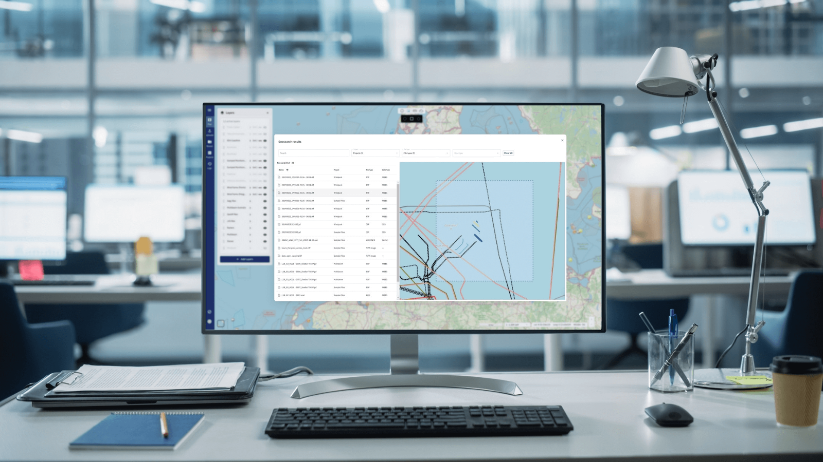
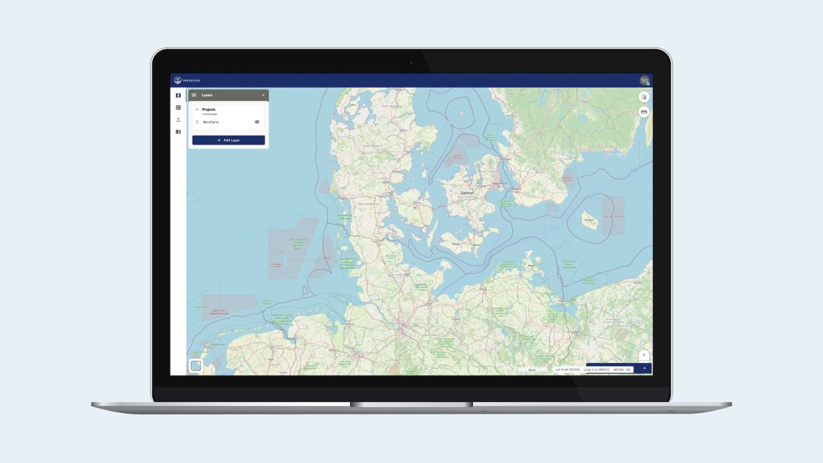
A groundbreaking update for the TrueOcean Marine Data Platform (MDP) designed to address the challenge of searching for hydrographic survey and underwater inspection data by location has gone live today. The new geospatial search function enables data on the platform to be located and accessed in seconds using a map-based interface.
With the acquisition of data from sensors including multibeam echosounders, side scan sonar, magnetometers and sub-bottom profilers, a large number of individual files are created in diverse formats, which can quickly become difficult to manage and locate. Additionally, data volumes can be quite large, reaching several gigabytes, if not terabytes.
The new function simplifies searching for all hydroacoustic and geotechnical data as the operator needs only circle the corresponding area on the digital map to see a list of the available files. The platform automatically georeferences data and extracts metadata during file upload, without any user intervention, and an intelligent search algorithm works in the background to exactly match results according to input on the map.
The new geospatial search function increases the efficiency of data management significantly. Users can search for survey data sets in seconds, instead of spending days or weeks sifting through cryptic filenames in deep folder hierarchies. The platform sorts the results by sensor type, file size, and acquisition date, making it easy to quickly locate the desired data.
“The geospatial search function is a game-changer for marine surveyors, their clients in offshore wind and the marine engineering contractors applying the data for underwater construction,” said Jann Wendt, Founder of TrueOcean.
“The management of large and complex data sets has been an often laborious and time-consuming task for years, but we are confident that our new search function will increase efficiency and unlock the full potential of data on our platform.”
The TrueOcean MDP offers a range of other features to help users take control of their survey data. Users can quickly review the data before further processing, and the platform makes it easy to manage data from multiple surveys at different locations.
The new geospatial search function is available now as part of the TrueOcean platform. For more information, visit www.trueocean.io.
TrueOcean is a revolutionary software company that provides a cloud-based marine data platform for successful offshore wind projects. We have developed a game-changing platform that simplifies ocean data management, making it easier for businesses to access the information they need for successful projects. With TrueOcean, you can expect increased efficiency, improved decision-making, enhanced innovation, and risk reduction. At TrueOcean, as part of a group of software companies with over a decade of experience, we are experts in working with geospatial data and using this information to create accurate digital maps. Our superpower is in guiding people through the complexity of the world by mapping it out in a way that is easy to understand. While we focus primarily on the waterside, specifically on the subsea area, we are specialized in handling marine sensor data. Our cutting-edge solution is available for utilities, cable network operators, construction companies, survey companies, and anyone else who needs reliable, fast, and easy access to crucial marine data.

Kiel. GABLER Naval Technology, a company of the Lübeck-based management holding L. Possehl & Co. mbH, is acquiring a 24.9% stake in TrueOcean GmbH....

2 min read
Kiel, 1 November 2022. Subsea geo-information specialist TrueOcean GmbH has launched a new cloud-based marine data platform that accelerates the...
.jpg)
San Jose /Kiel - March 18, 2024 - Geospatial cloud specialist north.io today announced it aims to revolutionize the modeling, collection, and...

1 min read
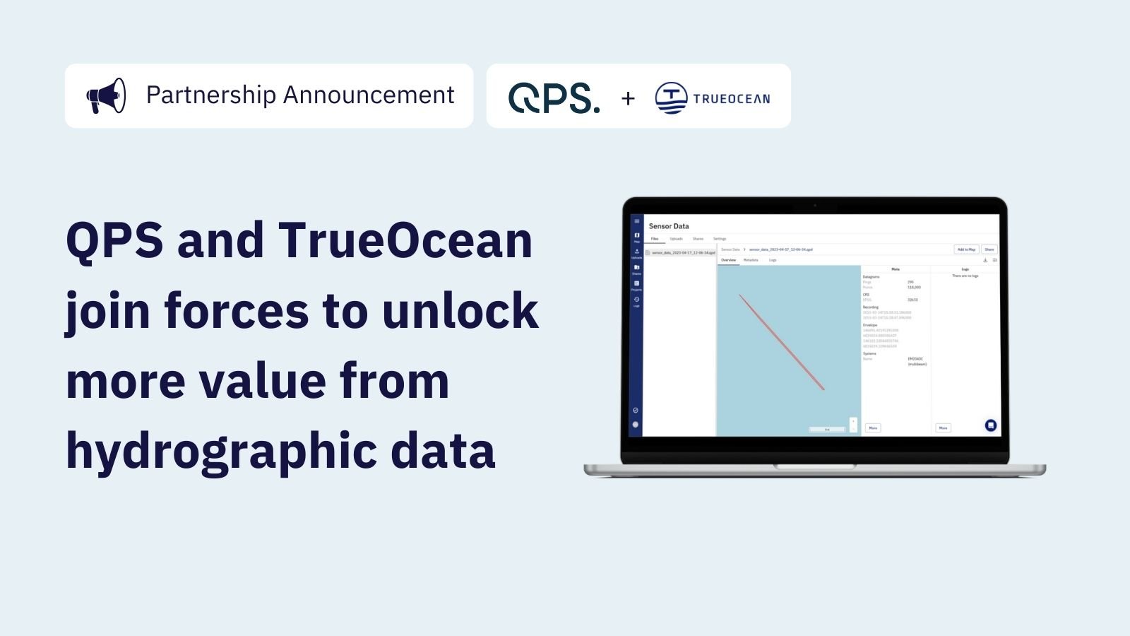
Kiel, 17 April 2023 Maritime software solutions provider QPS and marine geo-information specialist TrueOcean have teamed up to develop digital...