How to Organise Complex Marine Data in Offshore Wind
The rapid growth of offshore wind farms has led to an increased demand for accurate and reliable data and data management. The marine data could be...
During the 1800s, the ocean was imagined as a vast, featureless expanse. This perception began to shift with the advent of undersea telegraph cables, sparking a new era of exploration. Pioneers like Sir James Clark Ross and Mathew Fontaine Maury developed methods to chart the seabed using weighted ropes. These early techniques, although rudimentary, laid the foundation for modern ocean science. Fast forward to today, advancements in technology have revolutionized how we map the ocean floor.
Yet, remarkably, only 20% of the seafloor has been mapped, leaving much of the ocean a mystery—and a source of untapped potential for industries like offshore wind.

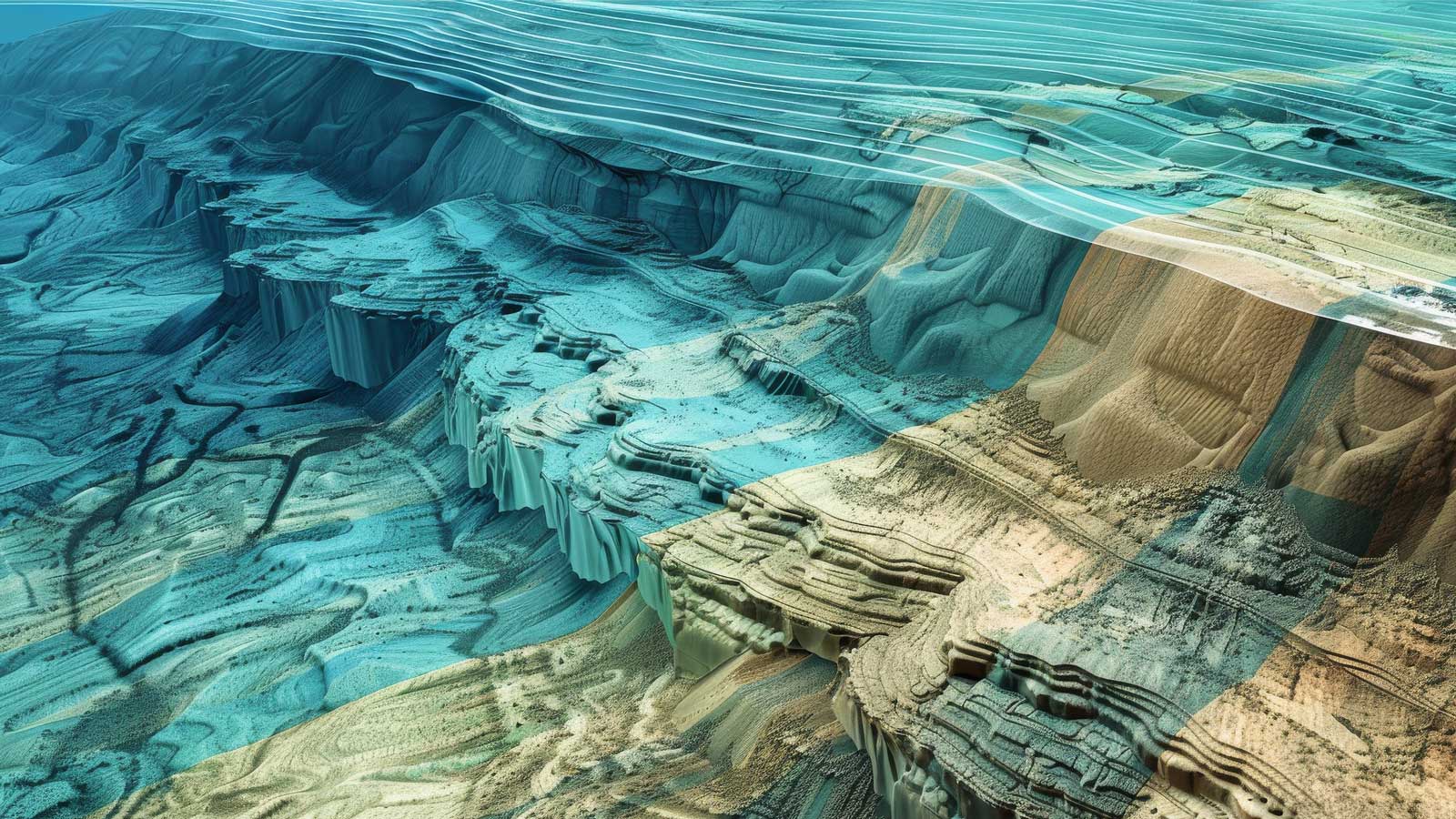
Bathymetric data is the underwater equivalent of topography. It maps the seafloor, providing the detailed insights needed for safe and informed decision-making in offshore industries. This data is critical for selecting suitable sites, minimizing risks, and ensuring the stability of offshore wind installations.
Collected using advanced technologies, such as Multibeam Echosounders (MBES) and Lidar systems, bathymetric data creates a precise, georeferenced model of the seabed. These datasets combine depth, horizontal positioning, and uncertainty measures, offering an indispensable foundation for offshore wind development.
This data is collected using advanced sensors that measure water depth with precision, alongside technologies that ensure the exact positioning of the data. Systems like Inertial Navigation Systems (INS) and Global Navigation Satellite Systems (GNSS) are key, recording both the movement and position of the survey vessel with timestamps to synchronise everything seamlessly.
Modern bathymetric surveys employ cutting-edge tools to gather high-quality data:
Each method ensures that the seabed is mapped to meet the specific technical and environmental requirements of offshore wind projects.

Bathymetric data does more than map the ocean floor—it transforms our understanding of marine environments. By revisiting legacy datasets with modern computational tools, we uncover new insights that were once inaccessible. These revelations are essential in supporting informed decisions and sustainable development.
In renewable energy, bathymetric data is the backbone of the global shift towards a sustainable, decarbonized future.
By analyzing changes in bathymetry over time, it becomes possible to identify trends in sediment movement, including mass and directional shifts. These insights allow for accurate predictions of depth variations in critical areas, supporting informed decision-making in planning and risk mitigation.

Bathymetric data is a long-term asset that plays a pivotal role in the success and sustainability of offshore renewable energy projects. Beyond its immediate application during site selection and construction, it provides a dynamic foundation for monitoring and adapting to the ever-changing marine environment.
By tracking changes in seabed conditions, such as sediment erosion, scouring, or shifting terrain, operators can proactively address risks, prevent costly infrastructure damage, and extend the lifespan of critical assets like turbine foundations and cables. Over time, this data evolves into a rich historical archive that helps build predictive models, offering valuable insights into sediment dynamics, wave interactions, and other factors critical to maintaining safe and efficient operations.
For future expansions, bathymetric data becomes invaluable. It guides decisions about optimal turbine placement and cable routes, minimizing the risk of errors and ensuring precision. It also plays a key role in environmental stewardship by providing insights into how seabed ecosystems evolve. This enables operators to meet regulatory requirements and demonstrate a commitment to preserving marine habitats, which enhances their credibility with stakeholders, regulators, and the public.
Ultimately, the enduring value of bathymetric data extends beyond operational efficiency. It empowers offshore developers to innovate, expand, and adapt in a challenging marine environment with confidence. By reducing uncertainties, fostering collaboration, and supporting sustainable practices, this data transforms from a technical resource into a strategic tool for building resilient, future-proof offshore energy projects.
As the power of multibeam sensors and other geophysical tools continues to grow, so does the amount of data they produce—data that’s crucial for bathymetric and geophysical surveys. Managing this vast sea of information can be overwhelming, especially when multiple stakeholders need access to it in real-time.
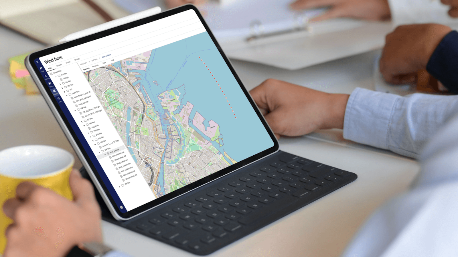
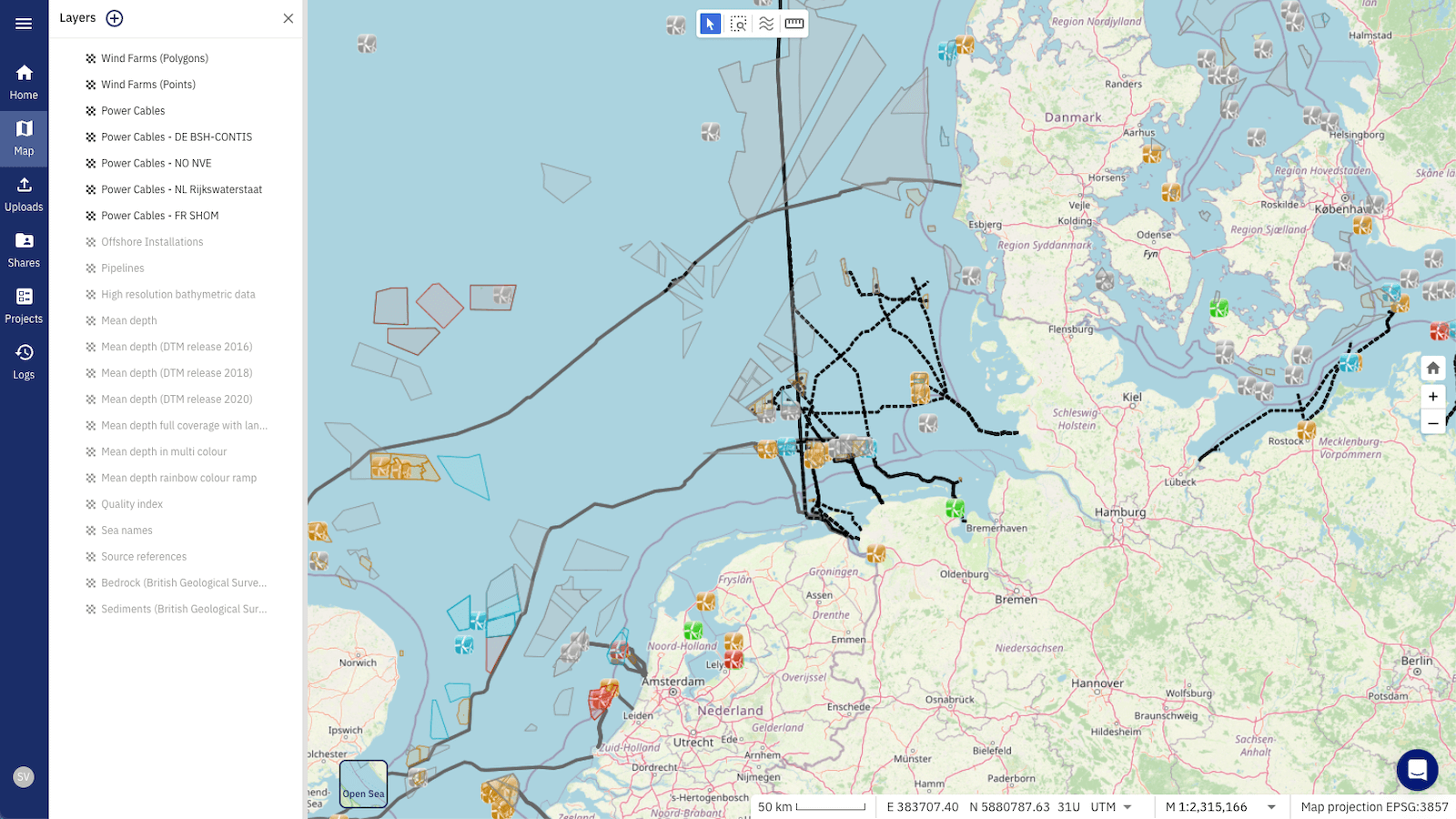
At north.io, we’ve built an Ocean Data Management Platform designed to handle this very challenge. Our platform provides a centralised hub to store, organise, and process large geospatial datasets, allowing seamless sharing and collaboration among all stakeholders involved in a project, from field teams to project managers and analysts.
The platform is tailored to the specific needs of bathymetric and geophysical data, with scalability built-in to handle diverse and complex datasets from various sources. It ensures data quality and integrity through automated quality assurance checks, so everyone can access the most accurate and up-to-date information.
By streamlining workflows and enabling real-time data sharing, we help reduce bottlenecks, speed up decision-making, and improve cross-collaboration. With this efficient, user-friendly system in place, all parties can focus on what matters most—extracting meaningful insights that drive project success.
Ready to Dive Deeper? Want to see how bathymetric data can revolutionize your offshore wind projects? Contact us directly or feel free to book a demo to explore how our solution can streamline your workflows, enhance collaboration, and maximise your ROI.
The rapid growth of offshore wind farms has led to an increased demand for accurate and reliable data and data management. The marine data could be...
1 min read
Geospatial data, an indispensable element of modern mapping and location-based services, offers a unique perspective on our world. This article is...
Hydro International’s New Horizons for Hydrography, but Who Will Conquer Them? article paints a positive picture for the short and mid-term future of...
"You want AI, automation, and evidence-based decision-making in offshore projects? It all starts withprecise data and smart data management."
