 Admin
Admin


ACM SIGSPATIAL 2023: north.io is Breaking Waves in GIS with Maritime Dataspaces
Hamburg, Germany. Jann Wendt, CEO of cloud geospatial data specialist north.io spoke this week at the International Conference on Advances in...

In the realm of geospatial data, metadata plays a pivotal role in ensuring the integrity, usability, and accessibility of information. Metadata serves as a comprehensive description of the who, what, when, where, and how of data acquisition and processing, providing a roadmap for understanding and utilising geospatial datasets. However, maintaining high-quality metadata can be a daunting task, often requiring manual checks and adherence to strict standards.
North.io, a leading provider of geospatial data platforms, has recognised the criticality of metadata and addressed the challenges associated with its management by seamlessly integrating ISO 19115 compliant metadata validation into its cutting-edge platforms, TrueEarth and TrueOcean. This innovative approach streamlines data quality control, enhances data interoperability, and empowers users to gain the most value from their geospatial assets.
TrueOcean, north.io's advanced ocean data platform, now boasts an automated metadata validator that meticulously scrutinizes data against the stringent guidelines of ISO 19115. This rigorous assessment ensures that each dataset's metadata is complete, accurate, and standardized, enabling marine professionals to confidently share and collaborate on offshore projects. The validator diligently checks for essential metadata elements such as identification, spatial-temporal coverage, data quality, and distribution information, aligning seamlessly with the INSPIRE directive for geospatial information within the European Union.
Similarly, TrueEarth, north.io's geospatial hub for terrestrial data, also benefits from a robust metadata validation system. Users uploading their land-based geodata can rest assured that their metadata adheres to global standards, facilitating interoperability and integration with other systems and platforms. This comprehensive approach not only streamlines data sharing and collaboration but also significantly reduces the risk of errors or omissions that could compromise data integrity and usability.
The incorporation of ISO 19115 metadata validation into TrueOcean and TrueEarth offers multiple benefits for geospatial professionals:
north.io's integration of ISO 19115 compliant metadata validation into TrueEarth and TrueOcean represents a significant advancement in geospatial data management. The automated validator addresses the challenges faced by geospatial professionals, ensuring data quality, interoperability, and usability. This innovation positions north.io as a leader in the digital transformation of geospatial data management, empowering stakeholders to navigate the complexities of geospatial data with confidence and precision.
By leveraging the power of metadata validation, north.io is elevating the geospatial data landscape, enabling users to unlock the full potential of geospatial information for a wide range of applications, from environmental monitoring and urban planning to climate change research and maritime operations.
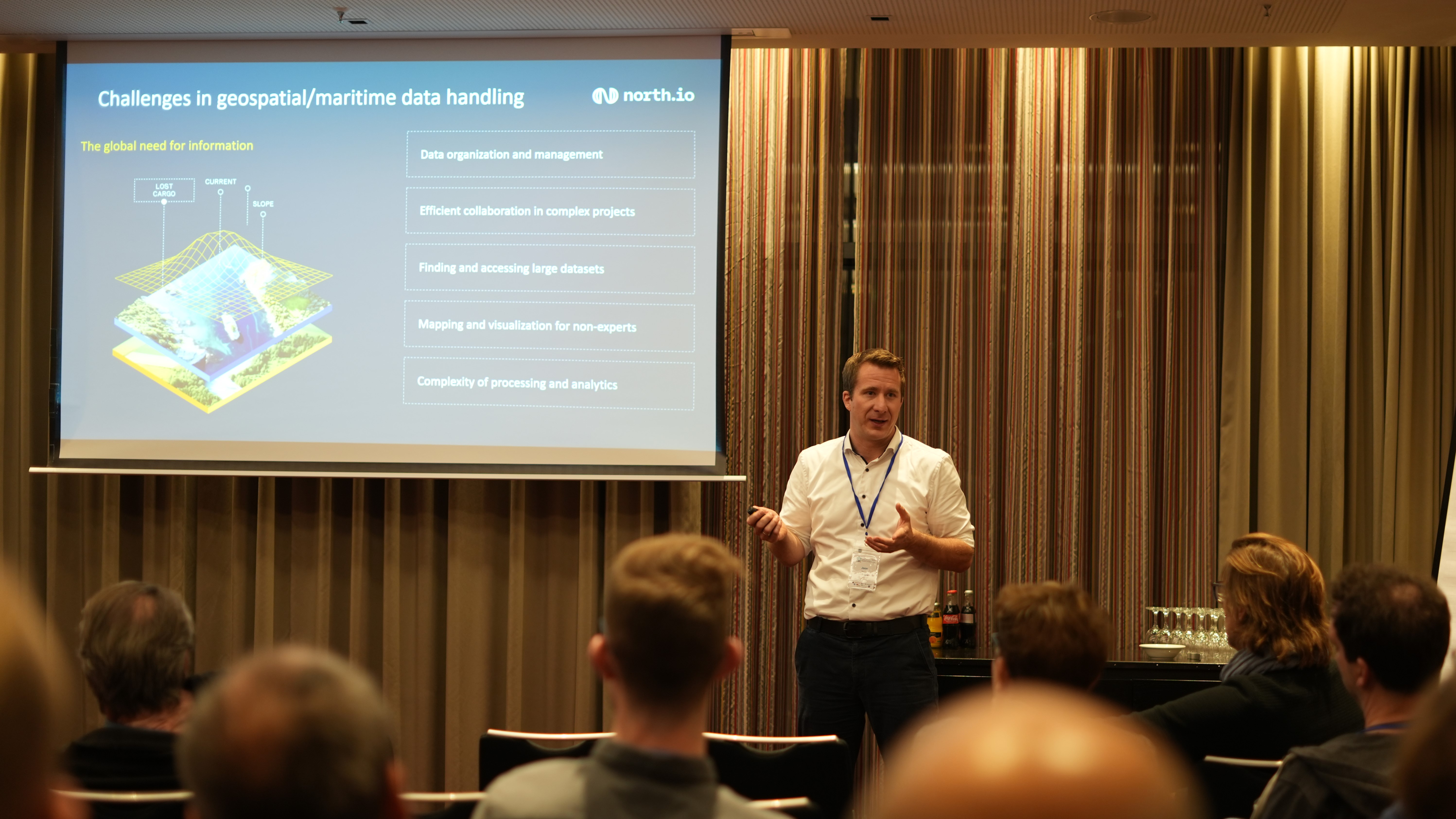
Hamburg, Germany. Jann Wendt, CEO of cloud geospatial data specialist north.io spoke this week at the International Conference on Advances in...
Kiel, 18.09.2023. The merger of three Kiel-based software companies, north.io GmbH, TrueOcean GmbH, and NatureConnect GmbH, marks a significant step...
Watch the Video In a world where vast amounts of data drive decision-making processes, managing, and organising complex datasets is crucial, even...
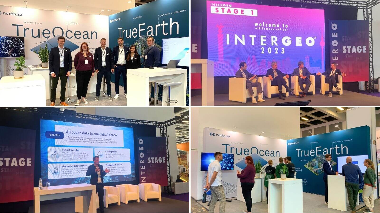
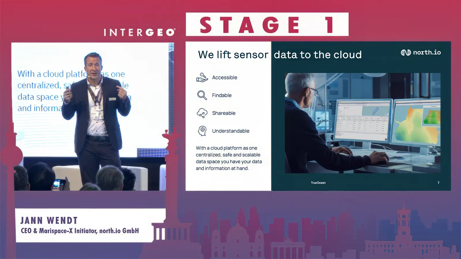
Berlin /Kiel 16.10.2023 Last week north.io exhibited at INTERGEO 2023, the world's leading exhibition and conference for geodesy, geoinformation,...