 Admin
Admin
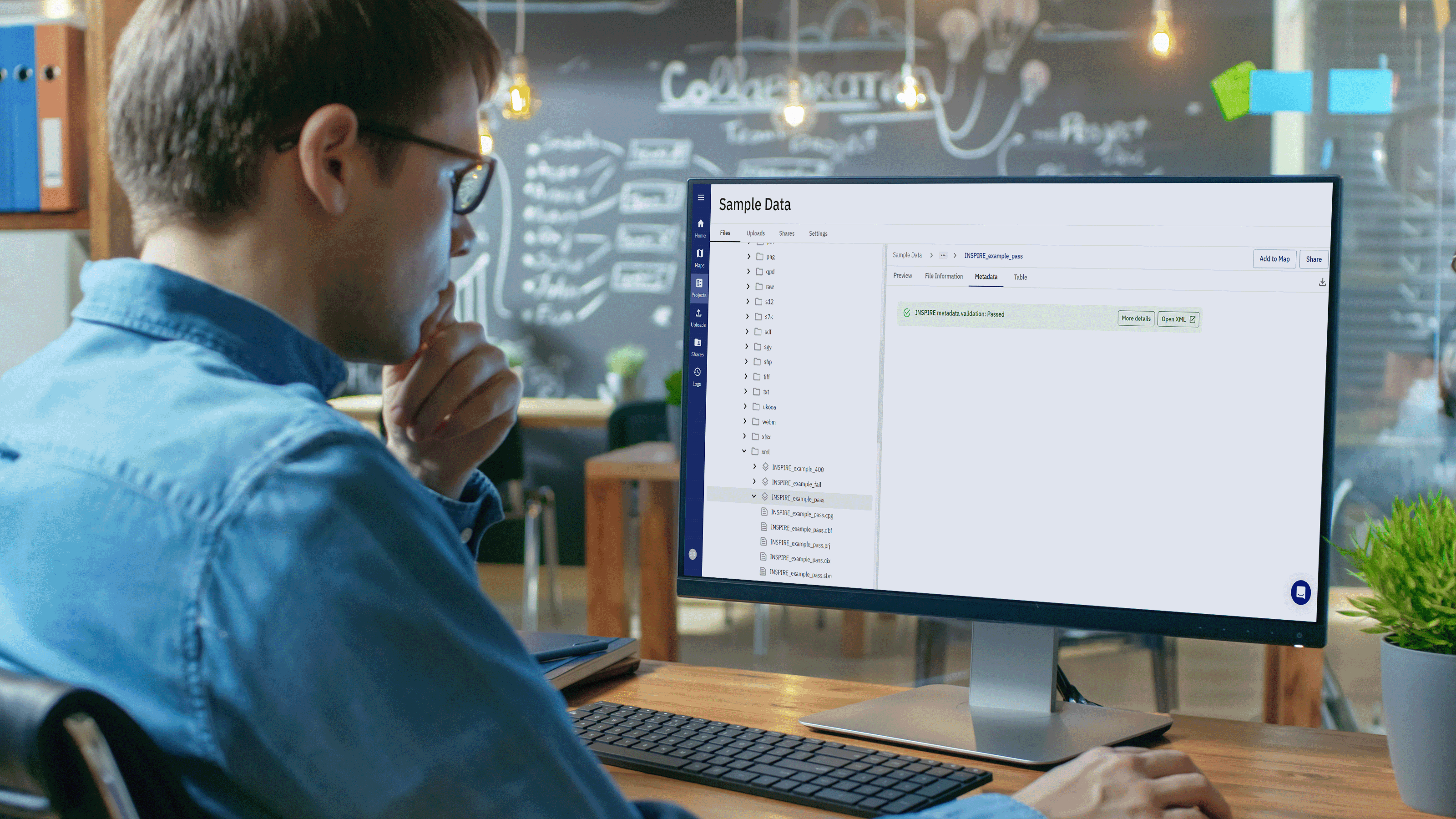
north.io Elevates Geospatial Data with ISO 19115 Metadata Validation
Background In the realm of geospatial data, metadata plays a pivotal role in ensuring the integrity, usability, and accessibility of information....
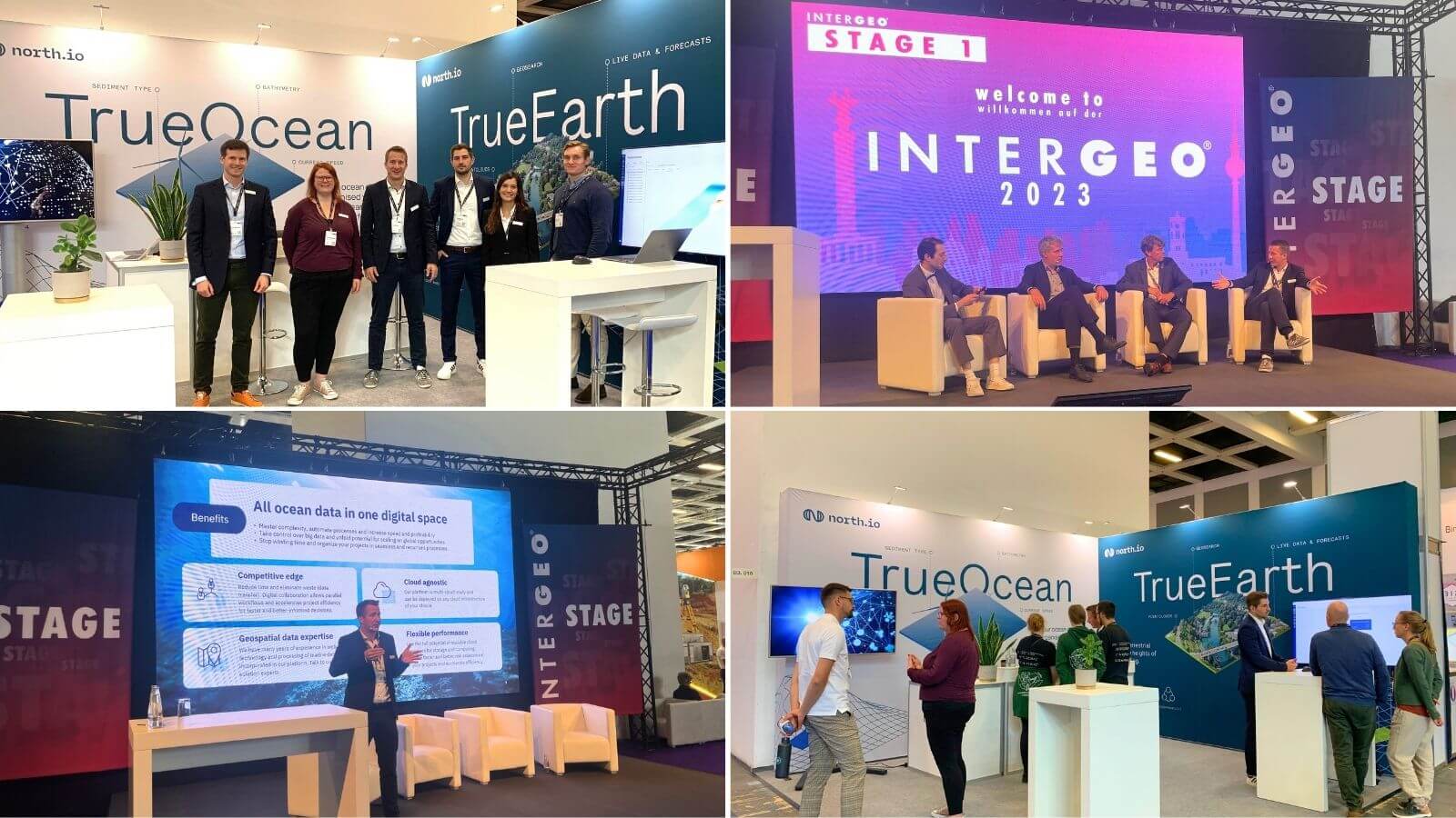
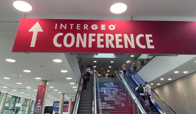
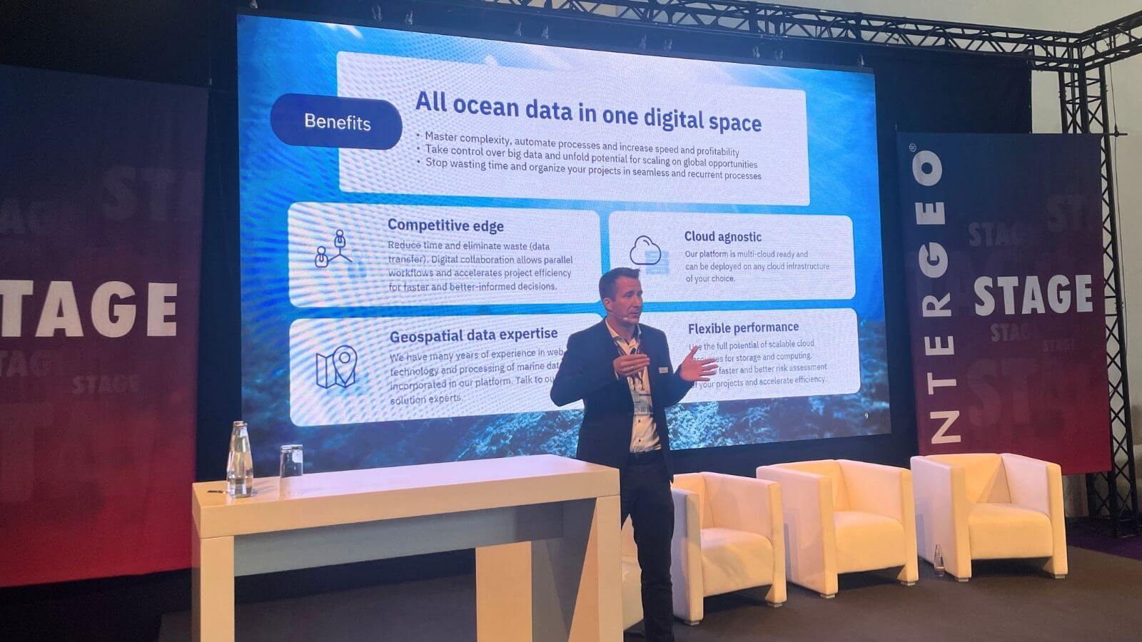
Last week north.io exhibited at INTERGEO 2023, the world's leading exhibition and conference for geodesy, geoinformation, and land management in Berlin. This year's event focused on the maritime dimension, highlighting the importance of geographic information for maritime applications and sustainability.
For the first time since their merger last month, north.io presented their two flagship geodata platforms for marine and terrestrial data on the same stand. Both TrueOcean and TrueEarth are SaaS solutions designed to make geospatial data easily accessible, quickly discoverable, easily shareable, and clearly understandable. They offer features such as data management with the geospatial search function, digital map display options, visualisation of terrestrial as well as marine sensor data, sharing of data, and collaboration. TrueOcean is strictly focused and tailored to the needs of offshore wind customers with their specific marine data management requirements while TrueEarth is specifically designed for terrestrial geodata management needs.
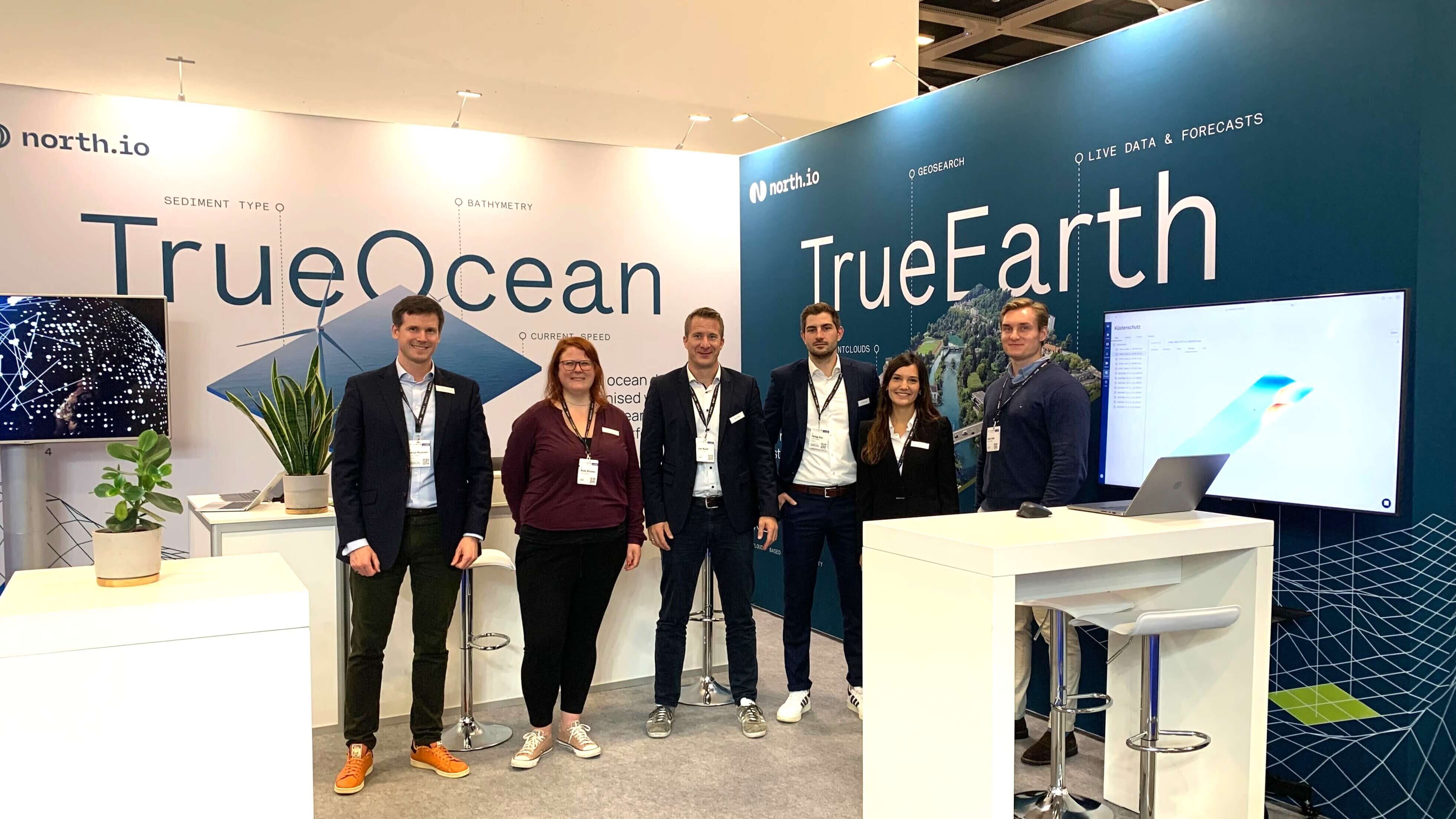
The three days of the exhibition were a complete success for north.io. The live demonstrations of TrueOcean and TrueEarth on the stand and on the expo stage were very well attended and the team had many insightful conversations with new and existing contacts and customers. Over the three days, north.io CEO and founder Jann Wendt was also able to contribute to the expert conversation at the adjoining INTERGEO conference.
At the conference, he shared his insights into the future of geospatial technology and its impact on sustainable development in several sessions. These included marine geodata management, a project presentation on Marispace-X, the largest maritime digitisation project initiated by north.io, and a case study showing how scalable cloud technology can make the management, data exchange, processing and visualisation of complex geodata sets created from recurring laser scanning surveys of the coasts of Schleswig-Holstein, much more efficient.
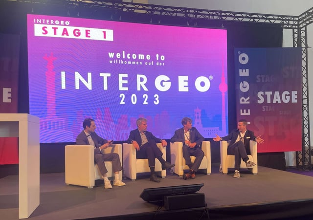
Together with Dieter Janecek, Maritime Coordinator of the German Federal Government, and Professor Dr. Martin Visbeck of the GEOMAR Helmholtz-Centre for Ocean Research Kiel, Jann also took a look into the future and discussed the future of the Blue Data Economy, an ecosystem built on the ocean of information generated by maritime activities, satellite imagery and underwater sensors.
Reflecting on the event, Jann Wendt expressed his enthusiasm for north.io's participation in INTERGEO:
"INTERGEO is the most important exhibition for the entire industry. We had a great exchange with potential customers, partners, and industry experts. The maritime focus provided a unique opportunity to share our knowledge and experience with other renowned experts and work together on solutions promoting sustainable marine resource utilization. We see immense potential and eagerly anticipate next year's event."
Since 2011 north.io, based in Kiel, Germany, has been the expert in the management of geospatial data on land and at sea. Through its Software-as-a-Service (SaaS) solutions, the winner of the Schleswig-Holstein Digitalisation Award 2021 makes geodata easily accessible, quickly findable, easily shareable, and clearly understandable. Today, a team of 70 highly specialised experts, is focused on developing cloud-native solutions specifically designed to unlock the full potential of geospatial data for the private and public sectors. With its software-as-a-service products TrueOcean and TrueEarth, north.io, creates a new dimension of shared geodata management, analysis and visualisation offshore and onshore. Other activities include:
Background In the realm of geospatial data, metadata plays a pivotal role in ensuring the integrity, usability, and accessibility of information....
Kiel, 18.09.2023. The merger of three Kiel-based software companies, north.io GmbH, TrueOcean GmbH, and NatureConnect GmbH, marks a significant step...

Kiel/Barcelona, 01.11.2023. The cloud geodata specialist north.io is excited to announce its participation in the highly anticipated Smart City Expo...

Kiel, 06.02.2024. north.io GmbH, a dynamic force in the geospatial industry, proudly announces its recognition as one of the Global Top 100...